Raleigh expands flood early-warning system with more gauges, radar-adjusted rainfall and alert capabilities
May 13, 2026 | Raleigh, Wake County, North Carolina
This article was created by AI summarizing key points discussed. AI makes mistakes, so for full details and context, please refer to the video of the full meeting. Please report any errors so we can fix them. Report an error »
An agency presentation at the SMAC meeting detailed new capabilities in Raleigh’s flood early-warning system that staff say will improve real-time monitoring and targeted alerts.
The presenter (speaker 9) said the city finalized a renewed agreement with the U.S. Geological Survey on April 1 and that the system will add 11 stream gauges and nine rain gauges to the network. Wake County has added lake-level gauges that will feed into the same platform, allowing staff to monitor upstream lake levels and anticipate runoff into local creeks such as Crabtree Creek.
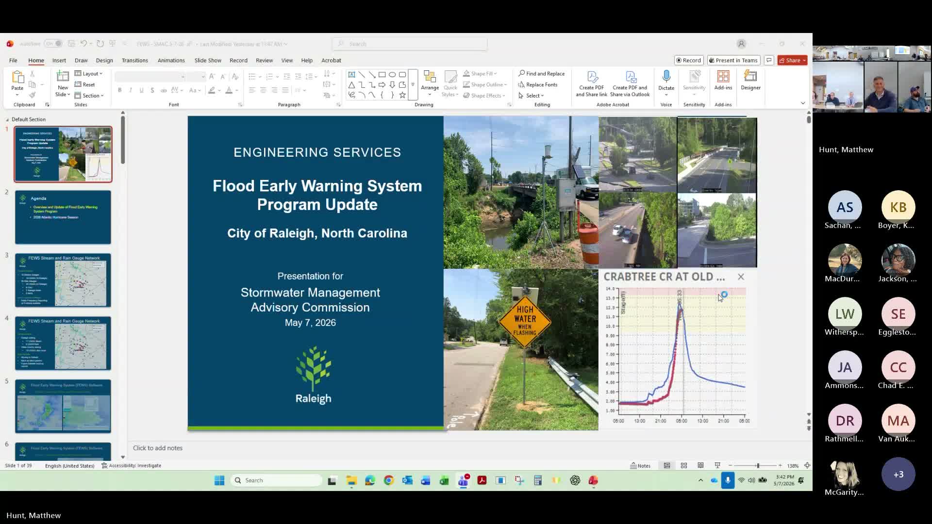
The system now pulls telemetry every five minutes, the presenter said, which enables more frequent model updates. The presenter described gauge-adjusted radar rainfall maps at a 1-by-1 kilometer grid that recalibrate radar with ground-truth gauge data so staff can see rain rates across the entire watershed every five minutes. That data is fed into forecast-driven 'what-if' scenarios that estimate creek-stage rises and potential times for roadway flooding.
The city is moving from the older ALERT2 radio-frequency system toward cellular telemetry with planned satellite backups; staff said cellular links allow redundant paths to transmit gauge data and provide easier backup options. The presenter also described camera deployments, greenway elevation alerts to notify parks staff when paths are flooding, and the ability to send wireless emergency alerts targeted to specific locations — an approach used to warn residents near Rose Lane during a recent tropical storm event.
Why it matters: staff said the improvements will let public-safety and maintenance crews pre-stage barricades and signage, notify communications and emergency-management partners more precisely, and give residents earlier warning of localized flooding.
Next steps: staff will continue to add gauges as installations complete and refine the public-facing elements of the platform; some tools remain internal to staff at present.
The presenter (speaker 9) said the city finalized a renewed agreement with the U.S. Geological Survey on April 1 and that the system will add 11 stream gauges and nine rain gauges to the network. Wake County has added lake-level gauges that will feed into the same platform, allowing staff to monitor upstream lake levels and anticipate runoff into local creeks such as Crabtree Creek.
The system now pulls telemetry every five minutes, the presenter said, which enables more frequent model updates. The presenter described gauge-adjusted radar rainfall maps at a 1-by-1 kilometer grid that recalibrate radar with ground-truth gauge data so staff can see rain rates across the entire watershed every five minutes. That data is fed into forecast-driven 'what-if' scenarios that estimate creek-stage rises and potential times for roadway flooding.
The city is moving from the older ALERT2 radio-frequency system toward cellular telemetry with planned satellite backups; staff said cellular links allow redundant paths to transmit gauge data and provide easier backup options. The presenter also described camera deployments, greenway elevation alerts to notify parks staff when paths are flooding, and the ability to send wireless emergency alerts targeted to specific locations — an approach used to warn residents near Rose Lane during a recent tropical storm event.
Why it matters: staff said the improvements will let public-safety and maintenance crews pre-stage barricades and signage, notify communications and emergency-management partners more precisely, and give residents earlier warning of localized flooding.
Next steps: staff will continue to add gauges as installations complete and refine the public-facing elements of the platform; some tools remain internal to staff at present.
View the Full Meeting & All Its Details
This article offers just a summary. Unlock complete video, transcripts, and insights as a Founder Member.
✓
Watch full, unedited meeting videos
✓
Search every word spoken in unlimited transcripts
✓
AI summaries & real-time alerts (all government levels)
✓
Permanent access to expanding government content
30-day money-back guarantee
