Yarmouth launches coastal-resilience fair tied to MVP planning and Route 28 corridor analysis
May 12, 2026 | Town of Yarmouth, Barnstable County, Massachusetts
This article was created by AI summarizing key points discussed. AI makes mistakes, so for full details and context, please refer to the video of the full meeting. Please report any errors so we can fix them. Report an error »
YARMOUTH — At the Parker's River Landing opening, resilience partners used the occasion to launch a Coastal Resiliency Fair and recap recent work under the Commonwealth's Municipal Vulnerability Preparedness (MVP) program.
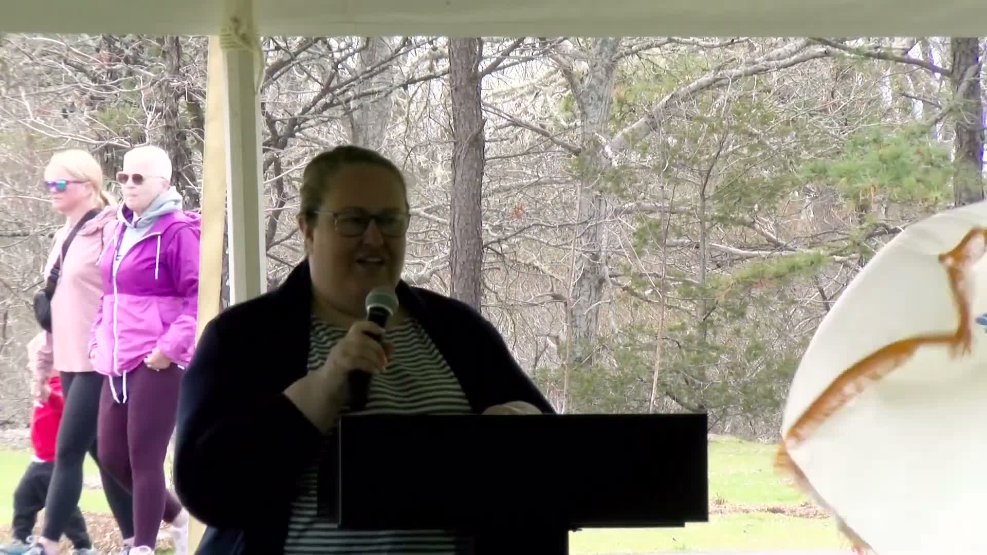
Bernie Hoffnagle of the Woods Hole Group said the fair highlights technical and financial assistance the MVP program provided to Yarmouth, and cited past town projects including a town‑wide vulnerability assessment, salt marsh restoration efforts and stormwater improvements. "This resiliency fair was funded partly by the Commonwealth MVP program," Hoffnagle said, urging attendees to visit partner tables and learn about local projects.
Hoffnagle and other consultants described a two‑year evaluation of the Route 28 corridor that looked at emergency access and evacuation for neighborhoods south of Route 28, assessing how flooded roads could affect response times and access to safety. The work is intended to help prioritize resiliency strategies for roads that serve densely populated areas and seasonal tourism traffic.
Richard Hamilton, a coastal resilience specialist with Cape Cod Collaborative Extension and Woods Hole Oceanographic Institution, urged residents to "know your flood risk" using FEMA maps and to participate in community science and preparedness programs. He noted outreach elements at the fair — including AmeriCorps volunteers on the boardwalk — and said the fair also highlights social resilience, not only infrastructure measures.
Organizers suggested the fair's resources are intended to help residents prepare for sea‑level rise, storm surge, heat and increased precipitation, and to inform future local planning around evacuation and infrastructure priorities.
View the Full Meeting & All Its Details
This article offers just a summary. Unlock complete video, transcripts, and insights as a Founder Member.
✓
Watch full, unedited meeting videos
✓
Search every word spoken in unlimited transcripts
✓
AI summaries & real-time alerts (all government levels)
✓
Permanent access to expanding government content
30-day money-back guarantee
