Torrington intern maps 35 vernal pools; commission will add data to Natural Resources Inventory
May 07, 2026 | Torrington, Northwest Hills County, Connecticut
This article was created by AI summarizing key points discussed. AI makes mistakes, so for full details and context, please refer to the video of the full meeting. Please report any errors so we can fix them. Report an error »
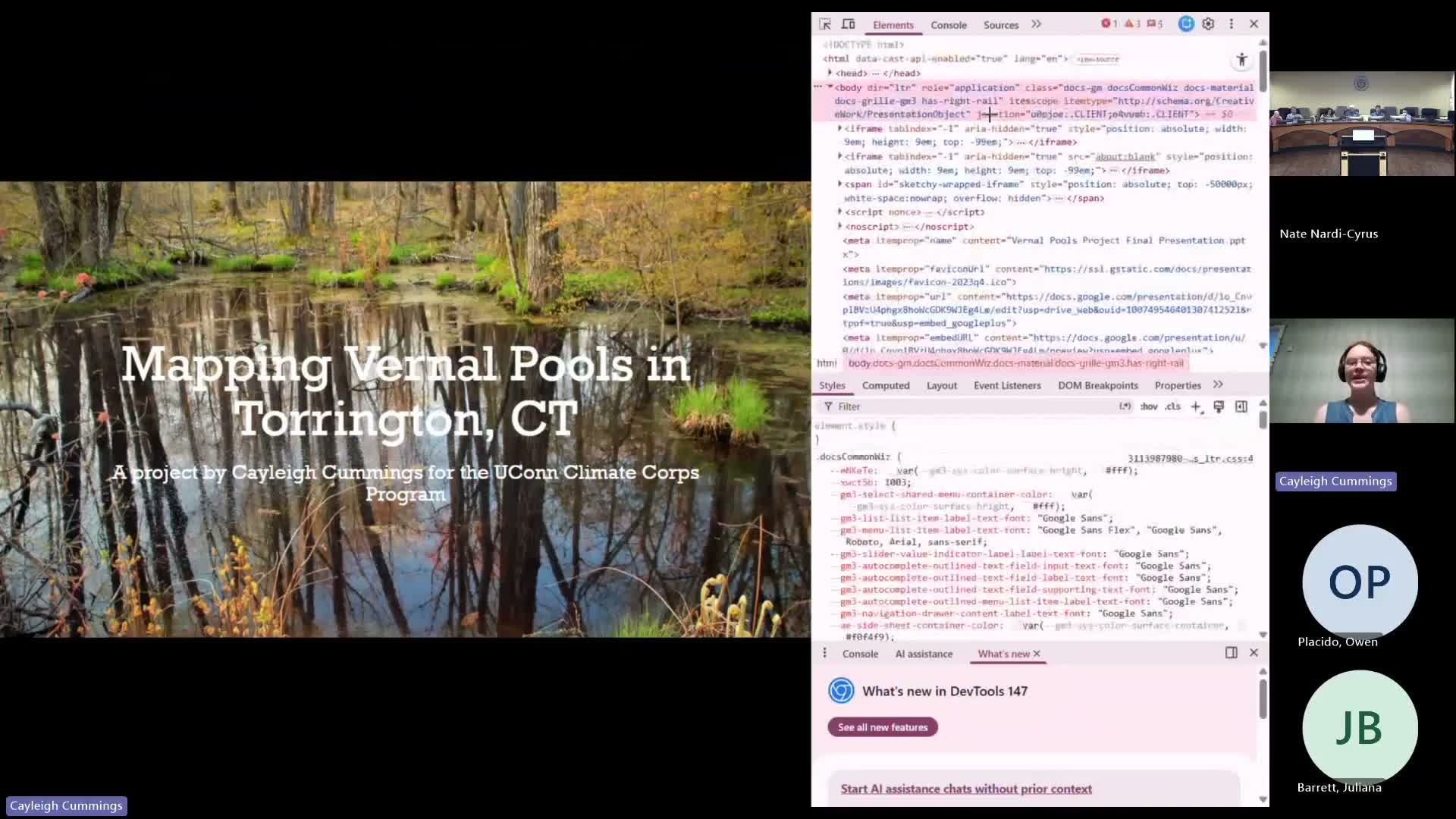
An intern with the Yukon Climate Corps presented remote-analysis and field-verification work mapping vernal pools inside Torrington city limits and urged the commission to use the mapping to guide project screening and conservation.
Kaylee Cummings said she used Nearmap aerial imagery from 2021–2025 and a one-mile grid method to search for recurring spring darkened surfaces; her work mapped 35 pools, 26 of which she listed as medium-or-higher confidence potential pools and nine that were already confirmed. She also conducted site visits with staff and reported finding mole salamander and wood-frog egg masses at several verified locations.
"I mapped a total of 35 pools, 26 of which were verified by NAIT as possible pools, and 9 of which were already confirmed pools," Cummings said. Staff and commissioners discussed integrating the points into the city's Natural Resources Inventory and GIS so project applicants and staff can screen sites more easily. The commission agreed the work could help staff identify vernal pools that deserve field confirmation during project review.
Commission staff noted vernal pools provide important habitat for obligate species and perform floodwater retention, and they cautioned that many pools are on private property and require permission for full field verification. Commissioners discussed typical upland buffer distances for pool-dependent species; staff cited a landscape-scale need that is sometimes described in the field as roughly 700 feet for meaningful habitat connectivity, with a more immediate functional buffer of about 100 feet around a pool depending on local conditions.
The presenter said the mapped grid will be converted into spatial data and incorporated into the Torrington Natural Resources Inventory story map and that staff will explore adding a point layer to the city’s public GIS or Nearmap project-screening resources.
View the Full Meeting & All Its Details
This article offers just a summary. Unlock complete video, transcripts, and insights as a Founder Member.
✓
Watch full, unedited meeting videos
✓
Search every word spoken in unlimited transcripts
✓
AI summaries & real-time alerts (all government levels)
✓
Permanent access to expanding government content
30-day money-back guarantee
