Temecula emergency manager outlines zone-based evacuation plan, urges residents to register for alerts
April 30, 2026 | Temecula, Riverside County, California
This article was created by AI summarizing key points discussed. AI makes mistakes, so for full details and context, please refer to the video of the full meeting. Please report any errors so we can fix them. Report an error »
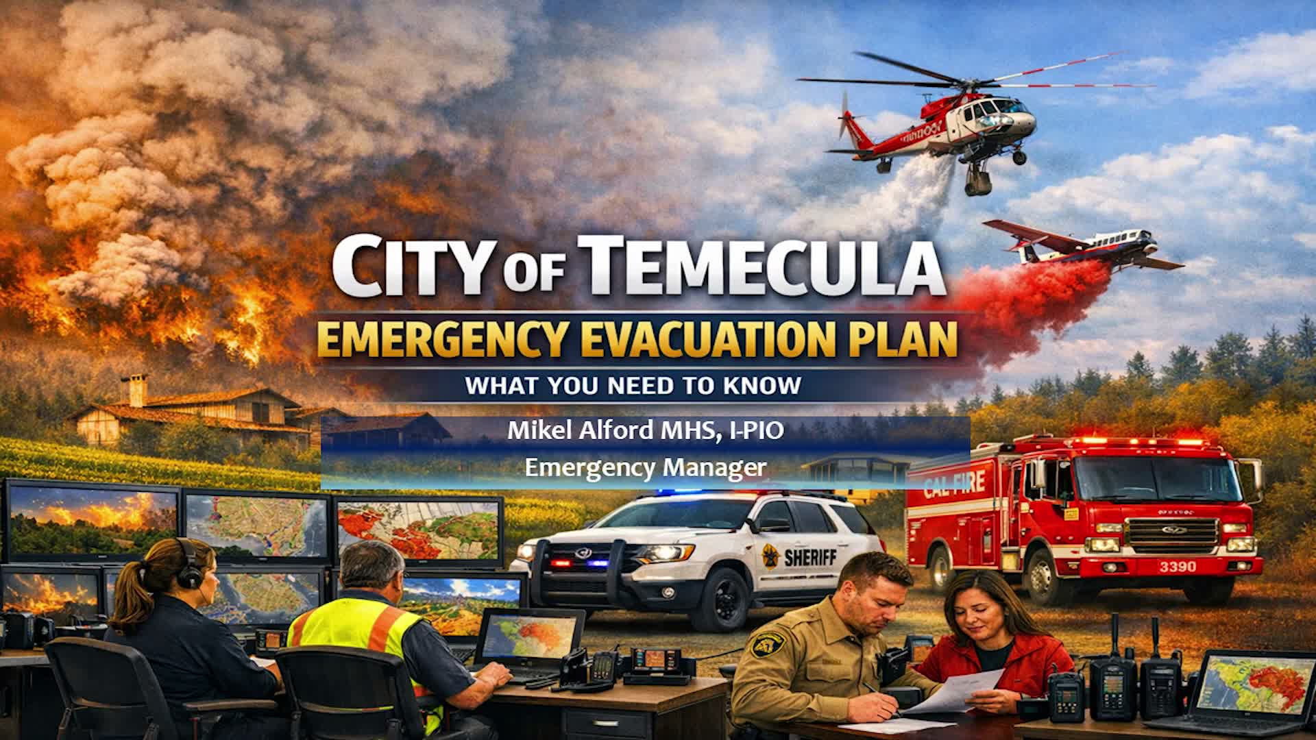
Mike Alford, Temecula����������������������������������������������, the city�������������������������������������������������� emergency manager, told residents at a public meeting that Temecula is developing a zone-based evacuation plan designed to move people incrementally and avoid overloading freeway routes.
Alford said the plan is roughly 75% complete, covers 75 numbered zones and uses two-page "zone sheets" for each area that list maps, primary and secondary routes, nearby shelters and assembly points, and special considerations for livestock and residents with access and functional needs. "There are 75 zones in Temecula," Alford said, noting the city has identified assembly points intended primarily for people without vehicles, including the Walmart and Target parking lots, MSJC and the mall.
Why it matters: Temecula lies in a high-risk region for both wildfires and flood scenarios. Alford cited a modeled Vail Lake dam rupture that he said could send a wall of water into parts of the city in about 18 minutes and estimated 14,798 homes fall inside the inundation zone (about 35,000 people at 2.5 persons per home). Those and other scenarios, he said, motivated the council to accelerate a plan that emphasizes pre-identified local actions and layered alerts.
Key features: The plan is "all hazards," Alford said, covering fires, earthquakes, floods and hazardous-materials incidents while using common operational concepts. The city will rely on multiagency incident command in large events: Cal Fire (Riverside County Fire) would lead fire response, the Riverside County Sheriff���������������������������������������������� Department would handle law enforcement and execution of evacuation orders, and the city would coordinate with CHP, Caltrans and county emergency management on traffic and routing.
Alford described operational safeguards intended to reduce bottlenecks: traffic lights can be set to flash, officers deployed to intersections, and phased zone releases avoid pushing all residents to the same freeway. For residents without transport, the city plans assembly points where buses will stage to move people to shelters or out of the city. "Those are for people that don't have transportation," Alford said of the parking-lot assembly points.
Special populations and animals: The city identified five potential shelter facilities, three high schools that do not accept household pets and two sites that will; the plan also includes outreach to equestrian and livestock communities and is exploring a livestock pass program to allow multiple reentries for animal retrieval. Alford emphasized the "whole community" approach and urged residents to register in Smart911/Rave so responders can locate those who need assistance.
Alerts and public information: Alford urged residents to register for Temecula Alert and keep contact information up to date. He explained the city uses a reverse-911/geocoded system and can escalate life-safety messages via IPAWS (the federal wireless emergency-alert channel) only for immediate threats. "Please register for your alerts," Alford said. He also cautioned that neighborhood forums and crowd-sourced apps provide useful situational awareness but recommended relying on three official sources in an emergency: City of Temecula channels/website, Cal Fire Riverside County Fire and the Riverside County Sheriff's Department.
Authority and planning drivers: The plan draws on a Western Riverside Council of Governments evacuation-network study and responds to state requirements cited by Alford, including Assembly Bill 747 (network-capacity evaluations) and Senate Bill 99 (identifying communities with two or fewer egress ways).
Next steps: Alford said the planning team will finish zone maps, complete remaining HOA and private-school outreach, meet with senior-care facilities, and run a phased exercise in the coming weeks to test reentry and repopulation steps. He said he aims to have the plan in residents' hands by the end of the year and invited the public to continue submitting questions via his email and the evacuation planning web page.
A resident raised questions about whether city planning considered alerting and roadway closures; another asked whether new housing projects inside the wildland-urban interface increased risk. Alford said planning staff advise on projects but final land-use approvals rest with the community development/executive team; he agreed to take neighborhood and business distribution requests back to relevant departments.
The meeting closed with Alford repeating contact information and the web link for the Know Your Zone campaign.
View the Full Meeting & All Its Details
This article offers just a summary. Unlock complete video, transcripts, and insights as a Founder Member.
✓
Watch full, unedited meeting videos
✓
Search every word spoken in unlimited transcripts
✓
AI summaries & real-time alerts (all government levels)
✓
Permanent access to expanding government content
30-day money-back guarantee
