City presents economic analysis and draft land-use categories as staff readies draft map
March 16, 2026 | Billings, Yellowstone, Montana
This article was created by AI summarizing key points discussed. AI makes mistakes, so for full details and context, please refer to the video of the full meeting. Please report any errors so we can fix them. Report an error »
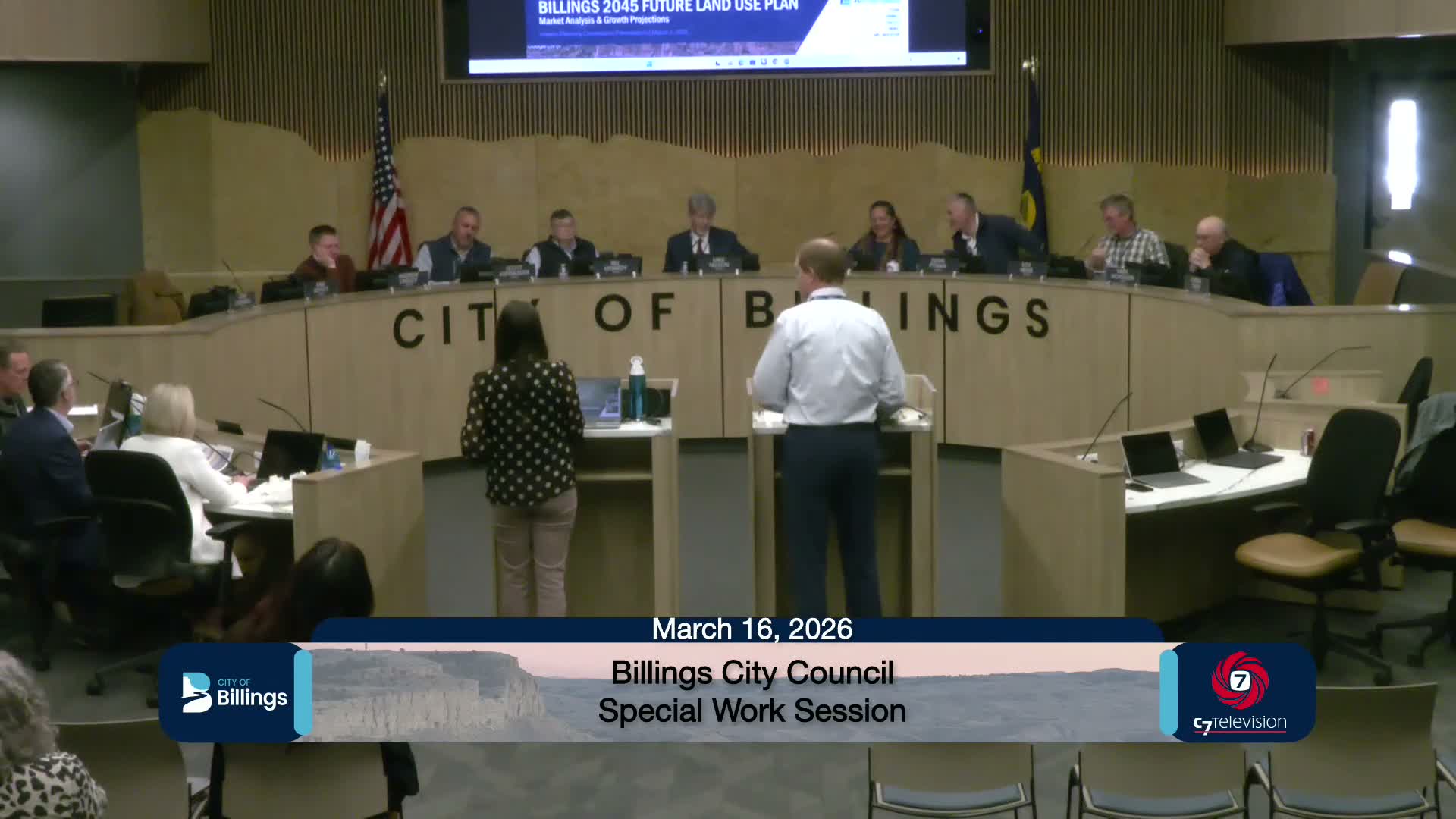
City planning staff and consultants summarized an economic analysis used to inform the Billings 2045 plan and introduced the draft future land-use categories that will guide a forthcoming map.
Planning presenter Wyeth (speaker 4) reviewed the SB Friedman analysis: "what our estimates are for population...is that we'll add approximately 30,000 more people to the city of Billings. We will add approximately a little over 16,000 housing units, and we will add approximately almost 23,000 jobs." He said the analysis shows recent increases in multifamily and townhome construction and identified infill opportunities such as the Elks property on Lewis, the Eagan property south of Grand, areas around Stewart Park, and Main Street in the Heights.
Wyeth emphasized sector trends: industrial demand remains strong, office demand is weak with much of the stock aging, and retail remains steady due to Billings’ regional trade role. He and staff recommended incentives to support ownership-driven, lower-scale attached housing (2–4 unit townhomes) to improve affordability and to explore converting older office space to housing where feasible.
Staff then introduced the future land-use categories and explained how existing zoning districts map into those categories (urban residential, neighborhood retail/office, employment/industrial, open space/public institutions). Council members pressed staff on how P1 park/open-space labels will be represented when parcels are privately held—one councilor said members of the public may misread a "park" label as public access when it may be private land. Staff agreed that labels may need qualifying language and that they will refine the categories before publishing the draft map.
Council direction included keeping N3 as a single-family designation in the draft and evaluating whether to add a transitional "country neighborhoods" or an N4 designation for large lot-area annexations. Staff said the full draft map will be presented at the next council session and will be accompanied by more detailed character/density slides.
Next steps: staff will adjust category labels as directed (including adding P1 clarifications and ensuring N3 treatment reflects council guidance) and will bring the draft future land-use map and supporting slides back to council for a scheduled session on the 27th.
Don't Miss a Word: See the Full Meeting!
Go beyond summaries. Unlock every video, transcript, and key insight with a Founder Membership.
✓
Get instant access to full meeting videos
✓
Search and clip any phrase from complete transcripts
✓
Receive AI-powered summaries & custom alerts
✓
Enjoy lifetime, unrestricted access to government data
30-day money-back guarantee
