Williamson County adopts Atlas 14 floodplain maps to guide planning and flood response
March 24, 2026 | Williamson County, Texas
This article was created by AI summarizing key points discussed. AI makes mistakes, so for full details and context, please refer to the video of the full meeting. Please report any errors so we can fix them. Report an error »
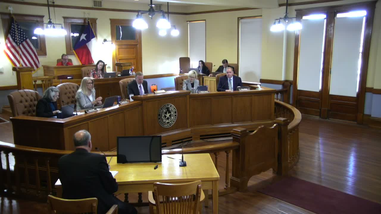
Williamson County Commissioners Court unanimously approved the adoption of the county’s Atlas 14 floodplain mapping study on March 24, endorsing updated maps county staff say will help local governments and residents prepare for flood risk.
The judge thanked county staff for their work and noted that the mapping had performed well during last summer’s flood events. Commissioner Bowles and other members said the newly studied areas will provide valuable information for staff, emergency planners and property owners as growth continues.
Commissioners discussed that the Atlas 14 final materials are available on the county website; one public commenter had earlier urged clearer website links to the final version for transparency. The court approved item 48 by voice vote 5–0.
The action adopts updated floodplain study results that county planners and partner cities may use in permitting, hazard mitigation and infrastructure planning; the court did not, in this session, attach regulatory changes to the adoption beyond the mapping itself.
Don't Miss a Word: See the Full Meeting!
Go beyond summaries. Unlock every video, transcript, and key insight with a Founder Membership.
✓
Get instant access to full meeting videos
✓
Search and clip any phrase from complete transcripts
✓
Receive AI-powered summaries & custom alerts
✓
Enjoy lifetime, unrestricted access to government data
30-day money-back guarantee
