Staff presents economic growth projections and draft future land‑use map categories to council
March 17, 2026 | Billings, Yellowstone, Montana
This article was created by AI summarizing key points discussed. AI makes mistakes, so for full details and context, please refer to the video of the full meeting. Please report any errors so we can fix them. Report an error »
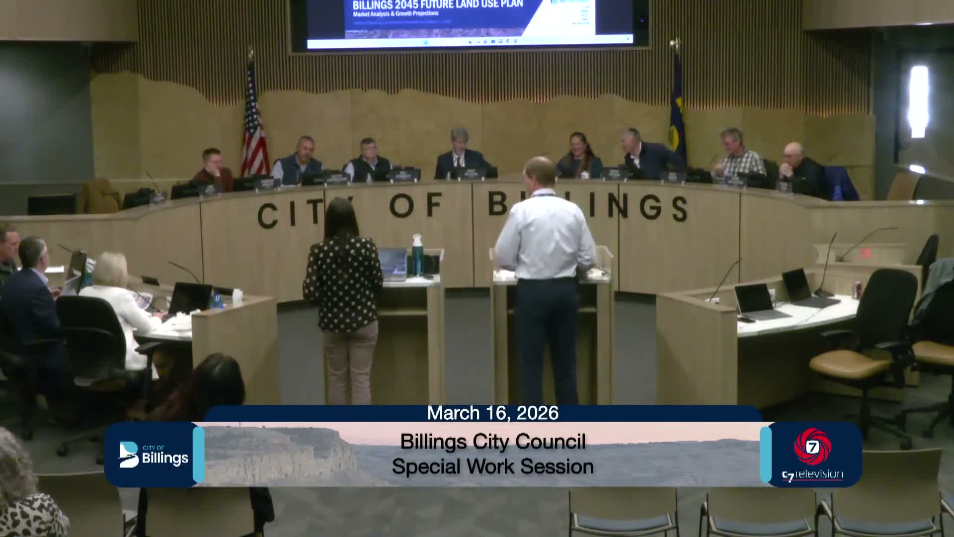
Planning staff presented an economic analysis prepared by SB Friedman and Orion Planning & Design and previewed the draft future land‑use categories that will underpin the Billings2045 map.
Staff reported the analysis projects roughly 30,000 new residents and a little over 16,000 housing units for Billings by 2045, along with nearly 23,000 new jobs in the study horizon. The presentation highlighted a recent shift toward denser housing types (two‑family, townhomes, multifamily) and identified infill opportunity sites such as the Elks property on Lewis, the Yagan property south of Grand, pockets east of Zimmerman Trail and areas near Stewart Park.
Council debated whether a moratorium on annexation would effectively encourage infill; staff and the city administrator warned that a hard boundary could push development into areas immediately outside city limits and complicate regional service and water issues. Several council members advocated incentive‑based infill strategies and conversion of older office space to housing as strategies to meet housing demand.
Staff also introduced draft land‑use categories, explained how zoning districts map into those categories, and acknowledged public confusion around the P1 parks/open‑space label where privately‑owned golf courses could appear to be public parkland. Council asked staff to broaden the 'P' designation on the map and to revise categories to create clearer transitions (including exploring an N4 option for larger, semi‑rural parcels that might annex in).
Staff said the draft map and supporting material will return to council on the 27th with 20 minutes allotted for council discussion and additional time for public comment.
Representative quote: "We will add approximately 30,000 more people to the city of Billings... a little over 16,000 housing units," said staff lead Wyeth summarizing the report.
View the Full Meeting & All Its Details
This article offers just a summary. Unlock complete video, transcripts, and insights as a Founder Member.
✓
Watch full, unedited meeting videos
✓
Search every word spoken in unlimited transcripts
✓
AI summaries & real-time alerts (all government levels)
✓
Permanent access to expanding government content
30-day money-back guarantee
