Board adopts ordinance to replace paper zoning index maps with GIS dataset
February 24, 2026 | Lassen County, California
This article was created by AI summarizing key points discussed. AI makes mistakes, so for full details and context, please refer to the video of the full meeting. Please report any errors so we can fix them. Report an error »
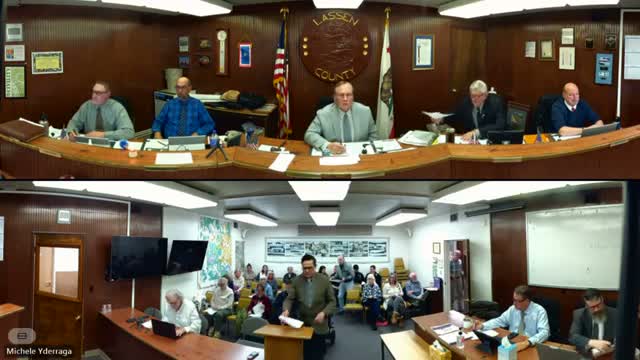
During a public hearing, Gailen Howard of Planning and Building Services asked the Board to introduce and adopt an ordinance to amend county code so the county’s zoning index maps would be replaced with a Geographic Information System (GIS) dataset accessible online.
Howard introduced Steve Harvey, the county's new GIS manager, who demonstrated a web mapping demo showing parcel and zoning layers, a search-by-address function, and the ability to link parcels to assessor information and the county code. Harvey said the demo is not yet live on the public website but that the application could go live within the ordinance’s 30-day effective window.
Multiple speakers from the public and supervisors praised the change as a long-overdue modernization that will reduce staff calls and improve public access. A public hearing was opened and closed with no oppositions that changed the outcome.
Supervisor Scanlon moved to receive the staff report, accept the planning commission recommendation, conduct the public hearing and introduce and adopt by title only the proposed ordinance; the motion was seconded and approved by roll-call vote. The clerk recorded votes from Supervisors Scanlon, Neely, Alba, Ingram and Bridges in favor.
Howard said the county will prepare tutorials and outreach for residents who need assistance and that the GIS manager will steward continued build-out and interdepartmental use of the system.
View the Full Meeting & All Its Details
This article offers just a summary. Unlock complete video, transcripts, and insights as a Founder Member.
✓
Watch full, unedited meeting videos
✓
Search every word spoken in unlimited transcripts
✓
AI summaries & real-time alerts (all government levels)
✓
Permanent access to expanding government content
30-day money-back guarantee
