Pinelands science staff: long‑term groundwater and pond monitoring shows record lows in 2024, expanded real‑time network coming online
September 27, 2025 | Pinelands Commission, State Departments and Agencies, Organizations, Executive, New Jersey
This article was created by AI summarizing key points discussed. AI makes mistakes, so for full details and context, please refer to the video of the full meeting. Please report any errors so we can fix them. Report an error »
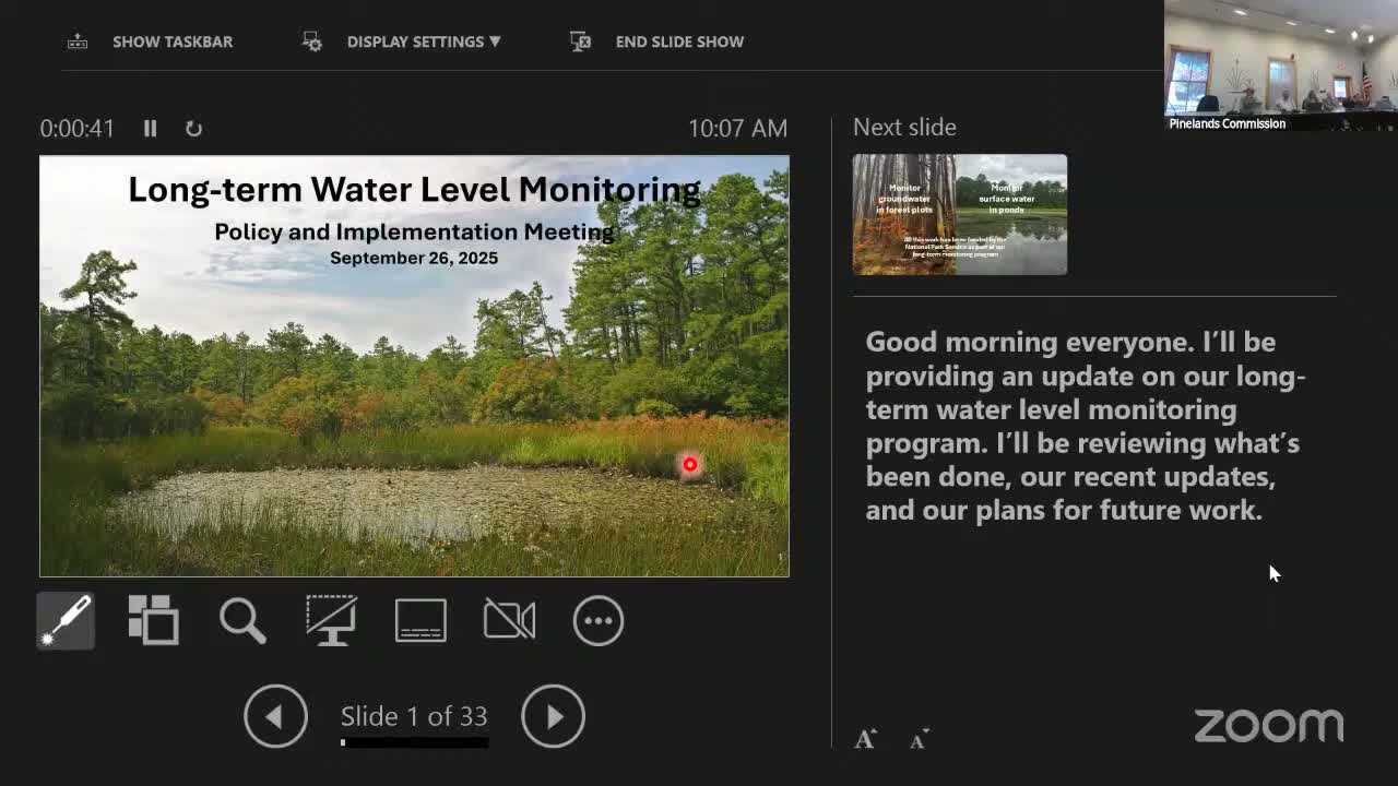
Science staff briefed the committee on Sept. 26 about the Pinelands long‑term water‑level monitoring program, presenting historical groundwater and pond records and recent upgrades to the monitoring network.
The presenter, identified in the meeting as John, said the monitoring network includes 33 forest plots with shallow wells and 37 ponds. Five forest plots have continuous records dating to 1987, giving the commission more than 38 years of groundwater observations at those locations, and an additional 28 plots were added in 2004. Staff described how wells are installed (about 1–2 meters deep in upland‑to‑wetland gradients) and how monthly manual measurements and data loggers are used to track water‑table depth.
John said instrumented records show pronounced variability and an extreme 2024 pattern: “We had a very wet spring in 2024 and almost no rain throughout the summer, and it just went straight down to the lowest point we’ve ever seen,” he said, noting the lowest recorded groundwater level at an instrumented well occurred in November 2024. Staff also showed pond hygrographs and said some ponds that historically held water year‑round experienced extended dry periods in 2024.
The program has been incrementally adding automated monitoring. Staff described the installation of seven pond data loggers (installed 2010–2015) and three remote weather stations installed in 2024 at Colliers Mills, Butterworth Pond and Button Pond. These remote stations record hourly water level and meteorological variables and upload data via cellular connection. Staff reported per‑station hardware costs of about $2,000 and annual data‑plan costs near $200 and said remote stations provide immediate alerts when sensors fail, reducing data loss.
The commission’s communications team (Joel Lott) conducts monthly manual groundwater measurements at the forest plots, and staff said they plan to make near‑real‑time data visible on the Pinelands Commission’s science web page so researchers and the public can view current conditions.
During Q&A commissioners asked about pond responsivity to rainfall, ecological impacts (for example to amphibians), well depth and whether monitoring sites are near municipal withdrawals. Staff said pond response reflects antecedent conditions and pond depth, frogs may tolerate one or two droughts in a lifespan but repeated early drying can be harmful, wells are typically 1–2 meters deep and some sites are on state land away from intensive development while others are chosen to compare developed and undeveloped settings.
Next steps: staff will analyze long‑term trends across sites, expand the remote‑station network as budget and logistics allow, and publish the automated data on the commission science page so stakeholders can download and use the observations for drought monitoring and research.
View the Full Meeting & All Its Details
This article offers just a summary. Unlock complete video, transcripts, and insights as a Founder Member.
✓
Watch full, unedited meeting videos
✓
Search every word spoken in unlimited transcripts
✓
AI summaries & real-time alerts (all government levels)
✓
Permanent access to expanding government content
30-day money-back guarantee
