Commission archaeologist reports dozens of potential unmarked burials after ground‑penetrating‑radar surveys
July 26, 2025 | Pinelands Commission, State Departments and Agencies, Organizations, Executive, New Jersey
This article was created by AI summarizing key points discussed. AI makes mistakes, so for full details and context, please refer to the video of the full meeting. Please report any errors so we can fix them. Report an error »
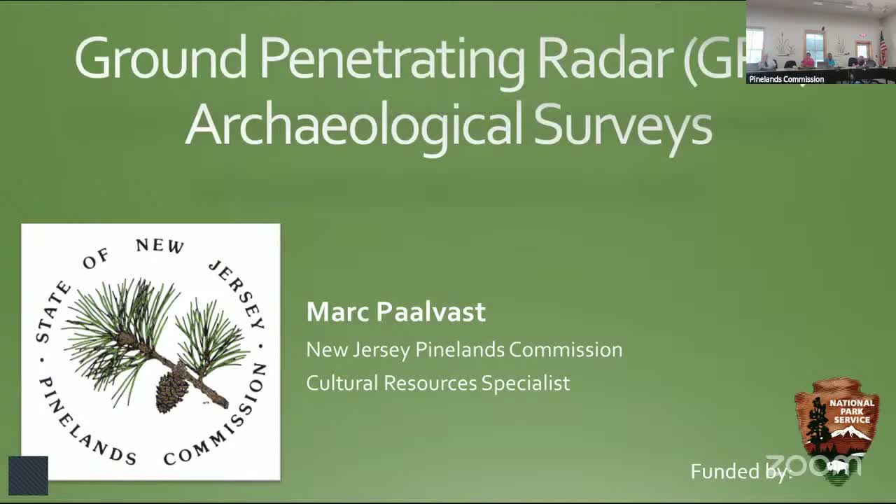
Mark Balbas, the Pinelands Commission archaeologist, briefed the Policy and Implementation Committee on ground‑penetrating‑radar (GPR) surveys the commission has conducted at historic cemeteries and other sites.
Balbas opened the presentation by describing GPR technology and its archaeological uses, explaining how electromagnetic pulses create reflections and characteristic "hyperbola" signatures that help identify subsurface features without excavation. "I'm Mark Balbas. I'm the archaeologist for the commission," he told the committee.
Saint Mary's (Pleasant Mills): Balbas said field work conducted in 2021 by a predecessor used 16 transects and test passes over marked burials to identify characteristic signatures. "Through this study, there's 23 potentially unmarked burials identified," he said, and he also identified a possible original church foundation beneath the surface.
AME Cemetery (Tabernacle): Balbas said field work on Sept. 21, 2023, used a tighter two‑foot transect spacing and produced 96 transects and 1,782 plotted data points. He described clusters of likely burial signatures near the road and in unmaintained woodland and noted varying burial depths (some more than 8 feet). "There was 1,782 data points that I ended up plotting," he said.
Whitespaugh Village (in progress): Balbas presented preliminary data from 124 transects and new software‑generated depth slices that suggest possible walkways or building footprints; he said analysis is ongoing.
Why it matters: these noninvasive surveys identify potential unmarked graves and archaeological features that affect land management, preservation priorities and any future development. Balbas said Saint Mary's and the AME survey reports are available on the commission's website and that he will continue analysis for Whitespaugh.
Procedure and public access: Balbas described field methods (baseline set‑up, transect spacing, pin‑flagging anomalies, GPS limitations) and emphasized that GPR helps avoid destructive excavation. He credited historical society volunteers and municipal stewards who assisted field efforts.
Next steps: staff will continue processing Whitespaugh data and making completed reports publicly accessible to inform preservation and permitting decisions.
Don't Miss a Word: See the Full Meeting!
Go beyond summaries. Unlock every video, transcript, and key insight with a Founder Membership.
✓
Get instant access to full meeting videos
✓
Search and clip any phrase from complete transcripts
✓
Receive AI-powered summaries & custom alerts
✓
Enjoy lifetime, unrestricted access to government data
30-day money-back guarantee
