Plan Commission previews comprehensive zoning-code rewrite and interactive web map
February 20, 2026 | Village of Jackson, Washington County, Wisconsin
This article was created by AI summarizing key points discussed. AI makes mistakes, so for full details and context, please refer to the video of the full meeting. Please report any errors so we can fix them. Report an error »
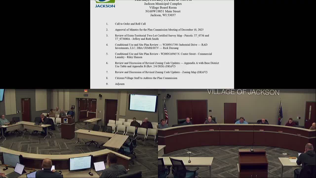
Village staff presented a detailed preview of a proposed comprehensive zoning-code update to the Plan Commission on Feb. 19, highlighting a new online, map-based interface designed to help property owners find permitted uses, supplemental standards and the approvals required for specific parcels.
The presentation, given by Speaker 2, described four core elements of the draft code: the zoning map, a base-district use table (Appendix A), land-use details and supplemental standards (Appendix B), and dimensional standards (to be presented next month). "It basically identifies what you can build, where, and how," Speaker 2 said, summarizing the package as the framework for permitting and site planning under the new code.
Why it matters: The rewrite consolidates prior planned-unit-districts (PUDs) into base districts where appropriate, clarifies when a use is permitted by right ("P"), when it requires conditional approval ("C"), and lists secondary reviews such as site-plan and architectural review. Speaker 2 demonstrated how the use table populates an interactive web application that ties Appendix A, Appendix B and the zoning map into a single public-facing tool.
The demo showed several features residents and applicants will be able to use: filtering the map by zoning district to view code text for that district; filtering by land-use type to locate where a use is allowed in the village; parcel-layer display with ownership data imported from Washington County; and property-specific pages that list overlays (for example, wellhead protection), applicable uses and required approvals. "If I wanted to do a gas station," Speaker 2 said during the demo, "it shows me all the places in the village where that use can occur" and what approvals would be needed.
Commissioners asked technical questions about maintenance and data refresh. Speaker 4 asked how parcel merges or rezoning would appear on the map; Speaker 2 said the Village plans to contract with the Washington County GIS department to maintain the zoning map feed so that rezoning actions become live when the county updates their system. He also described a permitting module intended to track applications tied to specific properties.
Speaker 8 encouraged commissioners to take a deeper look at Appendix B — the land-use details and supplemental standards — noting that some uses may appear speculative but the appendix is intended to be forward-looking. Speaker 2 said dimensional standards (minimum lot sizes, setbacks and building heights) are not yet in the public demo but will be presented next month and added to each district's property pages.
Next steps: Staff intends to use the web application as part of the public-participation process once the draft is near final, inviting residents and property owners to test the site and provide feedback. Commissioners were asked to review Appendix B and return comments to staff; no formal action was required from the commission at this meeting.
The presentation concluded without vote and the commission moved on to remaining agenda items.
Don't Miss a Word: See the Full Meeting!
Go beyond summaries. Unlock every video, transcript, and key insight with a Founder Membership.
✓
Get instant access to full meeting videos
✓
Search and clip any phrase from complete transcripts
✓
Receive AI-powered summaries & custom alerts
✓
Enjoy lifetime, unrestricted access to government data
30-day money-back guarantee
