Committee approves Red Cedar land split despite a narrow 53‑foot access choke point
February 18, 2026 | Dunn County, Wisconsin
This article was created by AI summarizing key points discussed. AI makes mistakes, so for full details and context, please refer to the video of the full meeting. Please report any errors so we can fix them. Report an error »
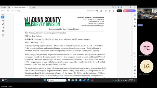
Tom, the county survey division presenter, described a proposed certified survey map for a 40‑acre tract in the Town of Red Cedar owned by Josh Masonborg. The owner seeks to separate about 10 acres containing an existing home and improvements from the remainder of the parcel. Tom said the property originally had a 66‑foot access easement but that the easement narrows at a corner to roughly 53 feet.
Tom explained the county land‑division ordinance requires a 66‑foot easement for divisions using existing easements unless the town and committee determine satisfactory access conditions. He noted the county has existing easements narrower than 66 feet elsewhere and said the town of Red Cedar had approved the CSM at its prior meeting.
Committee members asked technical questions about the “choke point.” Tom said the 53‑foot measurement was his calculation at the narrowest diagonal point and that the remainder of the easement widens to 66 feet. After discussion a committee member moved to accept that the existing access easement was adequate to serve the new 10‑acre parcel; the motion was seconded and the committee approved the action by voice vote.
Tom and staff also noted the survey was prepared by a surveyor out of Eau Claire and that Sam Gartman, the surveyor, was present in the room. Cheryl Miller, town clerk for Red Cedar, emailed the committee that the town approved the Masonburg/Masonborg certified survey map the night before; the transcript contains inconsistent spellings of the owner and the CSM name ("Masonborg" vs. "Masonburg"). The committee action cleared the final county step for recording the CSM.
The committee’s decision was procedural approval of access adequacy; no ordinance variance was adopted.
View the Full Meeting & All Its Details
This article offers just a summary. Unlock complete video, transcripts, and insights as a Founder Member.
✓
Watch full, unedited meeting videos
✓
Search every word spoken in unlimited transcripts
✓
AI summaries & real-time alerts (all government levels)
✓
Permanent access to expanding government content
30-day money-back guarantee
