Board hears countywide LiDAR roadway-scanning demonstration, directs staff to review proposal
February 16, 2026 | Oktibbeha County, Mississippi
This article was created by AI summarizing key points discussed. AI makes mistakes, so for full details and context, please refer to the video of the full meeting. Please report any errors so we can fix them. Report an error »
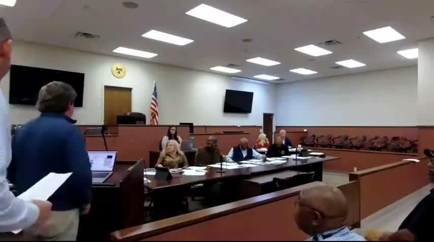
Brooks Wallace, president of the presenting firm, showed the Board a mobile 360-degree camera and LiDAR workflow the company used to map roads, measure features and produce a web-based viewer the county could use for asset management, pre/post-storm documentation and engineering measurements. Wallace said the fleet can capture ground-level imagery and point clouds, ingest local shapefiles and produce deliverables useful for estimating, design and emergency response.
The presentation included technical details: the system captures up to about 100 meters from the vehicle, adds LIDAR point clouds to video imagery, and can output lightweight web viewers plus full point-cloud files for engineering work. Jared Saul and Jeff Dungan joined Wallace for demonstrations of sample deliverables from recent county and state projects, including hurricane and tornado damage assessments and campus mapping. County engineer Clyde Pritchard and supervisors asked whether gravel roads, vegetation and dust would impair the scans; presenters said dust is handled in processing, gravel surfaces can be measured and the product can ingest right-of-way shapefiles to show vegetation within specified buffers.
During Q&A supervisors pressed on data ownership, storage and costs. Presenters said data would be hosted at their data center in Mississippi but could be replicated and handed to the county as static backups; they described per-mile collection pricing and additional fees for specialized analysis (for example, automated sign inventories or pavement-condition indices). The county discussed potential integration with 9‑1‑1 GIS, asset management and design workflows; presenters said the data can be supplied as GIS feature services for direct ingestion.
After discussion the Board voted to accept the presentation and take the proposal "on advisement," directing the county administrator, road manager and county engineer to review the proposal and report back with recommendations. The motion carried unanimously.
Don't Miss a Word: See the Full Meeting!
Go beyond summaries. Unlock every video, transcript, and key insight with a Founder Membership.
✓
Get instant access to full meeting videos
✓
Search and clip any phrase from complete transcripts
✓
Receive AI-powered summaries & custom alerts
✓
Enjoy lifetime, unrestricted access to government data
30-day money-back guarantee
