Lancaster Police describe VIPER drone fleet and Drone‑as‑First‑Responder capability
February 14, 2026 | Lancaster City, Los Angeles County, California
This article was created by AI summarizing key points discussed. AI makes mistakes, so for full details and context, please refer to the video of the full meeting. Please report any errors so we can fix them. Report an error »
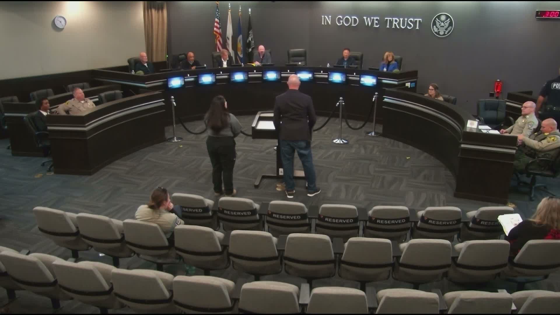
Lancaster Police Department staff briefed the commission on VIPER, a multi‑platform drone program designed to provide rapid aerial situational awareness, support public‑safety missions and assist city agencies.
Tim Bush, who runs the department’s drone program, described VIPER (Visualized Incidents Protection and Emergency Response) as a suite of platforms: public‑safety drones, mapping/media drones, small indoor drones for GPS‑denied environments, docked autonomous drones and a mobile response vehicle to carry equipment and swap batteries.
Bush said the department now operates three pre‑positioned DFR drones that can launch autonomously, climb to about 200 feet and fly directly to an incident location; video feeds and augmented overlays are shared via a centralized dashboard. He said the program has run 217 missions across response vehicles and DFRs, with 51 DFR flights Oct.–Dec. and 81 DFR missions so far this year.
Drew Huebner, an FAA‑certified pilot, demonstrated the program’s imaging and described capabilities including thermal/infrared sensors for night operations and a 360‑degree iGUIDE system for documenting properties. Bush noted the program’s use in mapping encampments to aid outreach teams and in documenting illegal cannabis houses, as well as interoperability with partner agencies. He said some flight areas require FAA waivers or special government waivers (e.g., around Plant 42 and restricted airspace).
Commissioners asked about coverage (three docks currently cover about 80% of the city’s most populated areas), pilot staffing (Bush said achieving 24/7 operations would require roughly 10 pilots), flight times (DFR drones average about 30 minutes) and how the department manages interaction with privately owned drones (remote ID and legal restrictions prevent public drones from flying over active scenes). Bush said the department is working with the LA County Sheriff and other agencies to ensure data and access policies align.
Next steps: presenters said they plan to expand dock locations, pursue additional waivers and continue cross‑agency policy work to enable broader shared access to drone feeds and to scale pilot staffing.
View the Full Meeting & All Its Details
This article offers just a summary. Unlock complete video, transcripts, and insights as a Founder Member.
✓
Watch full, unedited meeting videos
✓
Search every word spoken in unlimited transcripts
✓
AI summaries & real-time alerts (all government levels)
✓
Permanent access to expanding government content
30-day money-back guarantee
