Parametrix presents transportation resiliency plan focused on wildfire evacuation; commissioners press for coordination and public communication
February 02, 2026 | Liberty Lake, Spokane County, Washington
This article was created by AI summarizing key points discussed. AI makes mistakes, so for full details and context, please refer to the video of the full meeting. Please report any errors so we can fix them. Report an error »
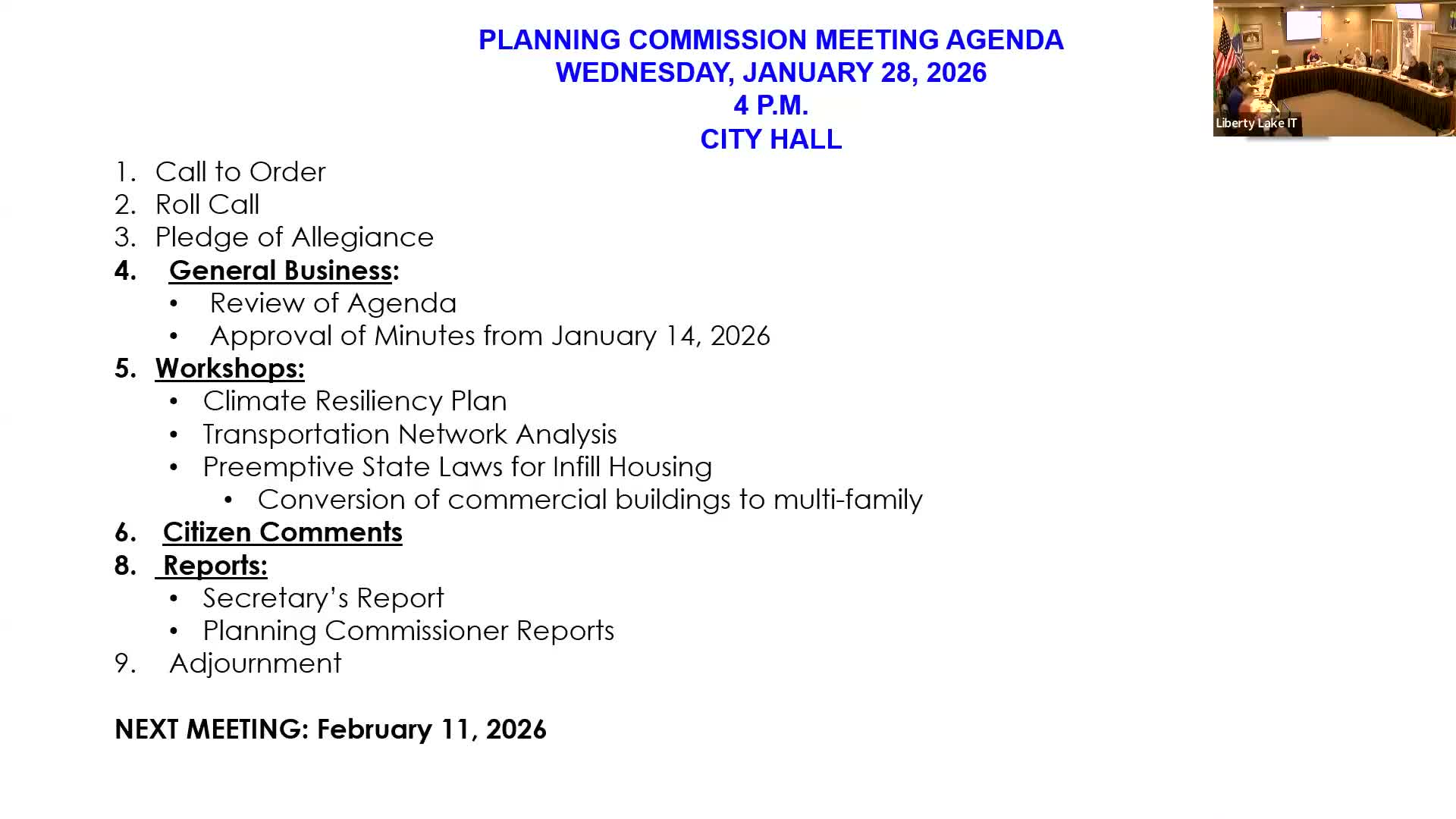
John Phillips, a planner who identified himself as working for Parametrix, presented a transportation-resiliency overview to the Liberty Lake Planning Commission on Jan. 28, saying the work is intended to assess which roads are most critical for evacuation and emergency response during wildfires.
"Really, it's about the evacuation, emergency response, and access," Phillips said, describing a three-step approach: a criticality assessment of corridor importance, a vulnerability assessment of hazards (notably the wildland-urban interface), and an overlay that identifies corridors of highest concern. He highlighted smoke, downed power lines and burn scars that can produce landslides or debris flows as non-fire impacts that can cut off routes.
Phillips recommended short-term, practical steps such as vegetation management along key corridors, use of durable roadway and drainage materials, and coordination with Spokane County emergency management and local fire agencies to "ground truth" suggested routes. He said those agencies can test whether fire and emergency vehicles can access the routes the analysis identifies and that recommendations should be integrated into the city�s capital and transportation planning.
During a prolonged question-and-answer period, commissioners pressed for how the city will communicate routes to residents and whether evacuation centers had been identified. Commissioner Mullings referenced recent catastrophic fires and asked whether lessons from Lahaina and other events were being applied. Phillips said the next step is coordination with Spokane County to identify evacuation centers and stressed that multiple messaging tools could be used, including reverse-911 text alerts and signage marking wildfire evacuation routes.
"We would identify that when we coordinate with emergency management in Spokane County," Phillips said. He suggested that fairgrounds and large institutional sites often serve as regional evacuation centers and emphasized that the city should verify those locations with emergency managers.
Commissioners also asked whether the city could run drills or install evacuation-route signage; Phillips and staff said those are feasible recommendations but would require coordination with police, fire and county emergency managers. Staff said the resiliency recommendations will be folded into the transportation network plan and capital projects as appropriate.
The planning commission requested a memo capturing the analysis and recommended short actions; Phillips indicated a full memo would be available by the commission�s next meeting.
View the Full Meeting & All Its Details
This article offers just a summary. Unlock complete video, transcripts, and insights as a Founder Member.
✓
Watch full, unedited meeting videos
✓
Search every word spoken in unlimited transcripts
✓
AI summaries & real-time alerts (all government levels)
✓
Permanent access to expanding government content
30-day money-back guarantee
