Georgetown County public-safety teams describe expanding drone use for searches, damage assessment and building clears
November 01, 2024 | Georgetown County, South Carolina
This article was created by AI summarizing key points discussed. AI makes mistakes, so for full details and context, please refer to the video of the full meeting. Please report any errors so we can fix them. Report an error »
Public-safety officials on Nov. 1 told First Friday that drones have become a routine tool for search and rescue, storm damage assessments and reducing risk to personnel during high‑hazard operations.
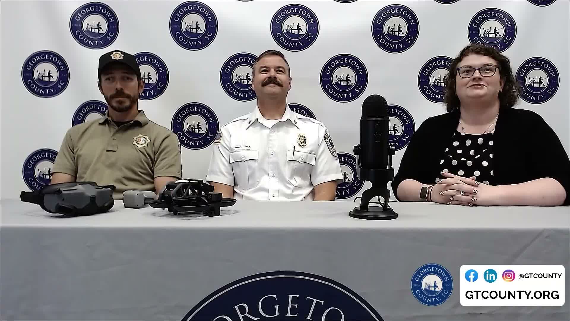
Chief Brett McClellan of Midway Fire Rescue said drones speed locating missing people in ocean, river and wooded-area searches: “The quicker we can get these drones up, it just gives us another eye from the sky,” he said. Officials described using thermal-capable outdoor drones for night searches and a smaller indoor/FPV drone to clear structures without sending a person through a door first.
Speakers described interagency coordination to avoid overlapping flights and to rotate batteries during lengthy missions; Murrells Inlet Fire and neighboring departments have provided mutual support. The sheriff’s office noted not all drones have thermal capability but that they use both types depending on the mission.
On training and authorization, guests said operators complete FAA-related training and testing; one speaker described a one‑week (40‑hour) course and said the sheriff’s office currently has three licensed operators. Officials also described FAA weather checks, airspace clearance procedures and a Part 107 testing process.
Speakers said the departments are beginning to outfit staff with software that will stream coordinates and live video to multiple devices so several responders can view the same drone feed; they expect to roll out the capability in the next month or two. Officials also described non‑emergency uses — mapping hot spots at fires and assessing storm damage — and said drones have reduced the need to place personnel in some high‑risk positions.
Officials emphasized procedural safeguards: licensing, weather checks and coordination with other aircraft or agencies to reduce airspace conflicts.
Don't Miss a Word: See the Full Meeting!
Go beyond summaries. Unlock every video, transcript, and key insight with a Founder Membership.
✓
Get instant access to full meeting videos
✓
Search and clip any phrase from complete transcripts
✓
Receive AI-powered summaries & custom alerts
✓
Enjoy lifetime, unrestricted access to government data
30-day money-back guarantee
