State geospatial office demos redistricting tools built for school-mapping and Act 73
January 30, 2026 | Education, SENATE, Committees, Legislative , Vermont
This article was created by AI summarizing key points discussed. AI makes mistakes, so for full details and context, please refer to the video of the full meeting. Please report any errors so we can fix them. Report an error »
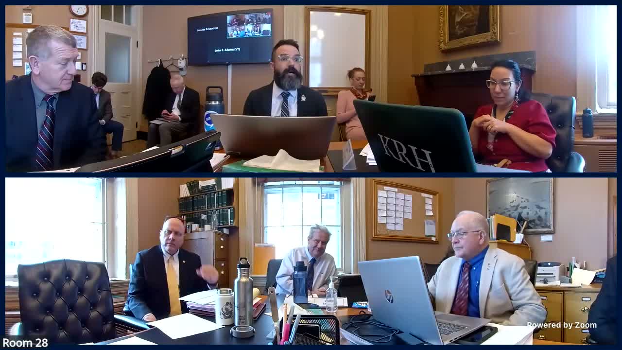
John Adams, director of the Center for Geographic Information at the Agency of Digital Services, demonstrated a suite of public mapping tools intended to support school redistricting and the work of the Act 73 task force. Adams said the center publishes foundational spatial datasets — aerial imagery, elevation and statewide tax-parcel data — and builds web applications so stakeholders can visualize and export district scenarios.
The tools include a district builder that uses towns as the base unit, a School Explorer with multiple overlay layers and a DriveTime Explorer that estimates student counts within configurable drive-time rings. "We build those foundational datasets, what we call our spatial data infrastructure," Adams said. He noted many datasets are federated from municipal, regional and state sources and the work is openly available for others to reuse.
Why this matters: lawmakers and school officials need easy-to-use maps when considering district boundaries, transportation impacts and facility planning. Adams said the district builder supports preconfigured region types — county, supervisory-union, CTE regions and others — and shows facility condition and enrollment metrics, helping committees estimate how proposed boundaries affect schools and supervisory unions.
Adams described sharing and export features intended to aid collaboration: a "copy shareable link" encodes an application's state so a user can reopen the exact scenario, and a CSV "assignments" download captures town-to-district mappings for later import. A report generator aggregates totals and creates charts and tables, including average daily membership and 10-year enrollment change. Adams cautioned that some boundaries are simplified for performance and are not the legal boundary geometries used for final determinations.
The DriveTime Explorer uses a routable road network and, where available, bus telemetry to estimate drivetime areas and then apportions town population counts to estimate students reachable within a set travel time. Adams said the center does not have students' home addresses; instead, they distribute students proportionally across town addresses to create estimates. "We don't have the actual location addresses of students," he said. "So what we did was we used the number of town addresses and then ... distributed, like, a fraction of a student to come up with the estimates."
Committee members asked about visualizing where students from non-operating districts are sent for high school; Adams said that data likely exist as a table and could be visualized in the applications if provided. He also offered to add additional layers on request and to coordinate with legislative counsel for follow-up.
Adams placed the tools in context with the center's history: at one point its state database fit on "12 floppy disks" and today the center has published more than 1,000 datasets and handles large monthly map-server traffic. The center made the mapping code available by using open-source technology and said it could add requested features, such as layers needed by the task force, in minutes to days depending on complexity.
The center invited the committee and stakeholders to test the tools and follow up with requests for added layers or data sources; Adams said staff will assist with technical questions and coordinate integration with legislative counsel where needed.
View the Full Meeting & All Its Details
This article offers just a summary. Unlock complete video, transcripts, and insights as a Founder Member.
✓
Watch full, unedited meeting videos
✓
Search every word spoken in unlimited transcripts
✓
AI summaries & real-time alerts (all government levels)
✓
Permanent access to expanding government content
30-day money-back guarantee
