Granite County Will Publish Public GIS Mapping; Deputies and Staff to Receive Accounts
January 27, 2026 | Granite County , Montana
This article was created by AI summarizing key points discussed. AI makes mistakes, so for full details and context, please refer to the video of the full meeting. Please report any errors so we can fix them. Report an error »
The Granite County Commission voted to publish the county’s GIS public viewer after a demonstration showing parcel data, commissioner districts, emergency-service layers and zoning and flood overlays.
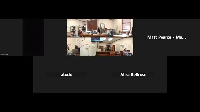
Matt (GIS consultant) demonstrated two versions: a public primary viewer intended for the county website and a more detailed internal "primary" viewer used by dispatch, deputies and staff. He showed parcel pop-ups that include addresses, structure photos and links and togglable layers for voting precincts, commission districts, school districts, solid-waste boundaries and flood data sourced from FEMA. "This is the Granite County disclaimers," Matt said as he walked commissioners through the public page, and later noted deputies use an offline mobile package in the field.
Commissioners authorized staff to work with the consultant and the clerk’s office to publish the public viewer and to distribute login credentials for the internal viewer to deputies, emergency staff and relevant county departments. The motion to push the GIS online passed unanimously.
Next steps: the consultant will coordinate with Miranda and county IT to publish the public viewer and to finalize the county email lists and credentials for internal users; commissioners also asked for a photo retake of outdated parcel photos during the summer.
View the Full Meeting & All Its Details
This article offers just a summary. Unlock complete video, transcripts, and insights as a Founder Member.
✓
Watch full, unedited meeting videos
✓
Search every word spoken in unlimited transcripts
✓
AI summaries & real-time alerts (all government levels)
✓
Permanent access to expanding government content
30-day money-back guarantee
