Commissioners hear GIS briefing; staff details countywide street-scan and address standardization plans
January 15, 2024 | Bibb County, Georgia
This article was created by AI summarizing key points discussed. AI makes mistakes, so for full details and context, please refer to the video of the full meeting. Please report any errors so we can fix them. Report an error »
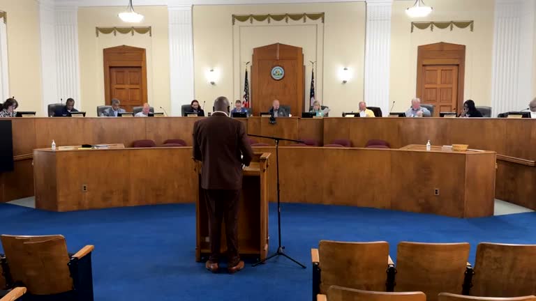
Macon-Bibb County commissioners heard a brief work-session presentation on the county's geographic information system (GIS), including a planned high-resolution street-scan, address-standardization work and cross-agency uses for emergency response and asset management.
The GIS manager told commissioners that GIS is more than maps—it links parcel identifiers to assessment and infrastructure data and supports time-and-location analysis across county services. "We've got a map that we can look up if you would want to email me or, reach out to me, and we can look up and make sure that that is on the list," the GIS manager said when answering a question about specific streets.
Staff described a street-scan project that will capture the county's road network at a much higher resolution than prior collections. The presenter said the effort will cover county-owned streets (not state-maintained highways) and produce a dashboard showing progress; on the dashboard, green indicates completed work and red indicates remaining sections. The presenter emphasized that the county maintains an ongoing enterprise agreement with Esri and pays annually to retain support and infrastructure services.
Commissioners asked how neighborhood traffic-calming requests would be handled; the GIS manager said engineers perform field evaluations and warrants, and that neighborhood interest helps prioritize action. In response to a constituent concern about a long-unpaved street where a resident named Barbara Prosser lives, staff offered to look up the road if provided an email request and confirmed that county roads should be included in the street-scan.
Staff also discussed planned field maps for fire and asset management, parcel-management improvements (a parcel fabric), indoor mapping possibilities for large facilities, and a renewed GIS training program for county users. The meeting ended with the chair asking staff to email the presentation to Janice Ross for distribution and the commission adjourning until its next meeting on January 21st.
The transcript contains garbled phrasing in several places; where the record was unclear, this article uses clarified, neutral language to reflect the substance offered by staff during the presentation.
View the Full Meeting & All Its Details
This article offers just a summary. Unlock complete video, transcripts, and insights as a Founder Member.
✓
Watch full, unedited meeting videos
✓
Search every word spoken in unlimited transcripts
✓
AI summaries & real-time alerts (all government levels)
✓
Permanent access to expanding government content
30-day money-back guarantee
