Consultants outline 18‑month countywide stormwater master plan; Shed Road study to deliver sooner
November 22, 2022 | Clay County, Florida
This article was created by AI summarizing key points discussed. AI makes mistakes, so for full details and context, please refer to the video of the full meeting. Please report any errors so we can fix them. Report an error »
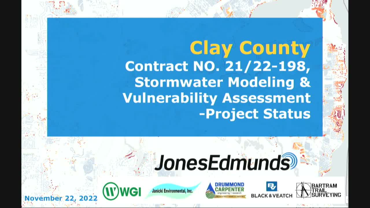
Justin Gregory, an engineer with Jones Edmonds, told the Clay County Board of County Commissioners on Nov. 22 that his firm has begun countywide hydrologic and hydraulic modeling intended to identify flood risk and capital projects across Clay County. The work uses recent LiDAR and USGS digital elevation data to create one‑foot contours and a 2.5‑foot DEM, Gregory said, and the initial inundation model runs at about 40‑foot resolution.
The consultant said the project team assembled an infrastructure dataset of roughly 23,000 structures and more than 400 miles of stormwater piping and identified about 4,500 additional pipes (some private) to be included in the model. The analysis will combine impervious‑area mapping derived from high‑resolution aerial imagery with soils data from NRCS and other sources to refine runoff estimates and identify priority focus areas.
"We have data collection and evaluation, and hydrologic and hydraulic modeling," Gregory said, summing up the current tasks. He added the study includes a DEP‑funded flood vulnerability assessment that will project future flood risk under climate scenarios and produce funding recommendations and capital improvement concepts. Gregory told commissioners the overall project is scheduled to finish in about 18 months, with “early‑out” focus area modeling and permitting support for high‑priority sites to come sooner.
During public comment and question periods, residents asked whether localized homeowner uses (for example, changing FEMA flood ratings) could rely on the county model. Gregory said the countywide model is a planning tool and ‘‘generally would not be accepted by FEMA’’ without additional surveying and permitting steps; however, focused models developed for a priority area could be carried forward into the FEMA process if the county and property owners choose to pursue that route.
Commissioners and staff pressed for timing and deliverables for specific problem areas. Gregory confirmed the county contracted for a parallel drainage study focused on Shed Road to avoid delaying the countywide planning work; he said that Shed Road study is already in progress and expected to take about three months to complete, while the broader master plan will continue on the 18‑month schedule.
The presentation concluded with a list of next steps: finalizing focus areas with county staff, conducting field surveys, developing focused models to support design and permitting, and presenting funding options for capital projects. The county will use the study to generate a prioritized list of capital improvements and to explore funding sources, including grants and project phasing.
The consultant said the project team assembled an infrastructure dataset of roughly 23,000 structures and more than 400 miles of stormwater piping and identified about 4,500 additional pipes (some private) to be included in the model. The analysis will combine impervious‑area mapping derived from high‑resolution aerial imagery with soils data from NRCS and other sources to refine runoff estimates and identify priority focus areas.
"We have data collection and evaluation, and hydrologic and hydraulic modeling," Gregory said, summing up the current tasks. He added the study includes a DEP‑funded flood vulnerability assessment that will project future flood risk under climate scenarios and produce funding recommendations and capital improvement concepts. Gregory told commissioners the overall project is scheduled to finish in about 18 months, with “early‑out” focus area modeling and permitting support for high‑priority sites to come sooner.
During public comment and question periods, residents asked whether localized homeowner uses (for example, changing FEMA flood ratings) could rely on the county model. Gregory said the countywide model is a planning tool and ‘‘generally would not be accepted by FEMA’’ without additional surveying and permitting steps; however, focused models developed for a priority area could be carried forward into the FEMA process if the county and property owners choose to pursue that route.
Commissioners and staff pressed for timing and deliverables for specific problem areas. Gregory confirmed the county contracted for a parallel drainage study focused on Shed Road to avoid delaying the countywide planning work; he said that Shed Road study is already in progress and expected to take about three months to complete, while the broader master plan will continue on the 18‑month schedule.
The presentation concluded with a list of next steps: finalizing focus areas with county staff, conducting field surveys, developing focused models to support design and permitting, and presenting funding options for capital projects. The county will use the study to generate a prioritized list of capital improvements and to explore funding sources, including grants and project phasing.
View the Full Meeting & All Its Details
This article offers just a summary. Unlock complete video, transcripts, and insights as a Founder Member.
✓
Watch full, unedited meeting videos
✓
Search every word spoken in unlimited transcripts
✓
AI summaries & real-time alerts (all government levels)
✓
Permanent access to expanding government content
30-day money-back guarantee
