Clay County activates shelters, suspends yard‑waste fees as Tropical Storm Nicole approaches
November 09, 2022 | Clay County, Florida
This article was created by AI summarizing key points discussed. AI makes mistakes, so for full details and context, please refer to the video of the full meeting. Please report any errors so we can fix them. Report an error »
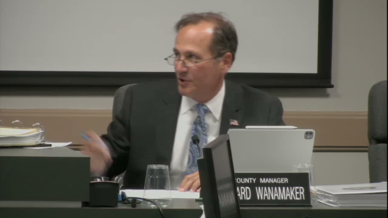
Deputy Emergency Management Director Michael Ladd told the Board of County Commissioners that Tropical Storm Nicole had grown into a large wind field and was projected to affect Clay County with sustained tropical-storm conditions and localized flooding.
"Current winds are about 70 miles an hour right now," Ladd said, and added the National Weather Service forecast predicted 3 to 6 inches of rain locally with possible 3–4‑foot rises along the St. Johns River and Doctors Inlet in the worst locations. The county declared a local state of emergency and placed the Emergency Operations Center under partial activation, with plans for full activation through the event.
The county opened shelters for special‑needs, general population and pet‑friendly occupants; Lake Asbury Junior High and Orange Park High School were named among the sites. Ladd said officials had recommended evacuation for Evacuation Zone Alpha A and urged residents to monitor county communications for changing shelter and sandbag availability.
To help residents dispose of storm debris, the board approved a motion to suspend yard‑waste fees at Rosemary Hill from Nov. 11 through Nov. 21. The suspension was described by staff as a short-term measure to allow residents to drop off yard debris without a fee during the recovery period.
County staff also warned that strong onshore winds and a broad wind field would likely produce more wind than rainfall for many inland areas, with an elevated tornado risk from the event’s onset through the following afternoon. Officials said additional rainfall associated with the system would aid suppression of an ongoing mulch/wood‑debris fire (discussed separately) but cautioned that some surface burning could continue for weeks or months in deep piles.
The county urged residents to check the Clay County website for shelter locations and service changes and reminded the public that government offices would be closed on the day(s) specified in the emergency notices. The board’s emergency decisions are intended to prioritize public safety and resource availability while the storm passes.
"Current winds are about 70 miles an hour right now," Ladd said, and added the National Weather Service forecast predicted 3 to 6 inches of rain locally with possible 3–4‑foot rises along the St. Johns River and Doctors Inlet in the worst locations. The county declared a local state of emergency and placed the Emergency Operations Center under partial activation, with plans for full activation through the event.
The county opened shelters for special‑needs, general population and pet‑friendly occupants; Lake Asbury Junior High and Orange Park High School were named among the sites. Ladd said officials had recommended evacuation for Evacuation Zone Alpha A and urged residents to monitor county communications for changing shelter and sandbag availability.
To help residents dispose of storm debris, the board approved a motion to suspend yard‑waste fees at Rosemary Hill from Nov. 11 through Nov. 21. The suspension was described by staff as a short-term measure to allow residents to drop off yard debris without a fee during the recovery period.
County staff also warned that strong onshore winds and a broad wind field would likely produce more wind than rainfall for many inland areas, with an elevated tornado risk from the event’s onset through the following afternoon. Officials said additional rainfall associated with the system would aid suppression of an ongoing mulch/wood‑debris fire (discussed separately) but cautioned that some surface burning could continue for weeks or months in deep piles.
The county urged residents to check the Clay County website for shelter locations and service changes and reminded the public that government offices would be closed on the day(s) specified in the emergency notices. The board’s emergency decisions are intended to prioritize public safety and resource availability while the storm passes.
View the Full Meeting & All Its Details
This article offers just a summary. Unlock complete video, transcripts, and insights as a Founder Member.
✓
Watch full, unedited meeting videos
✓
Search every word spoken in unlimited transcripts
✓
AI summaries & real-time alerts (all government levels)
✓
Permanent access to expanding government content
30-day money-back guarantee
