County hears pilot results from Smart North Florida using computer-vision traffic sensors on Wells Road
September 26, 2023 | Clay County, Florida
This article was created by AI summarizing key points discussed. AI makes mistakes, so for full details and context, please refer to the video of the full meeting. Please report any errors so we can fix them. Report an error »
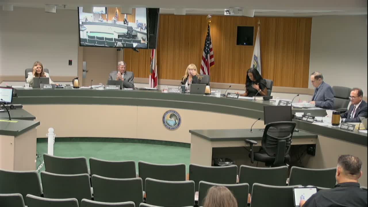
Clayton Levins of Smart North Florida presented the findings of a two‑tool traffic‑safety pilot along the Wells Road corridor to the Clay County Board of County Commissioners on Sept. 26, 2023. The nonprofit used two systems — Streetscope (an egocentric, dash‑cam computer‑vision approach) and Street Simplified (pole‑mounted intersection cameras) — to collect visual data, run proprietary algorithms and produce a risk score and recommended mitigations for problem segments.
The 15‑minute briefing, which covered roughly 2,000,000 data points gathered during multiple runs, identified six hot spots along Wells Road. Levins said the systems detected frequent hazards including left‑turn conflicts, red‑light running, speeding, merging conflicts and interactions with vulnerable road users such as pedestrians and bicyclists. At Deberry Avenue, the pilot recorded dozens of red‑light events in a 24‑hour period; Levins said some nearby intersections recorded up to about 90 such events in one day.
"No solutions that we deploy ... collect, store, or transmit personally identifiable information," Levins said, stressing the pilot used computer vision only to classify vehicle, pedestrian and bicycle interactions and to calculate a hazard index. He described the Streetscope output as an "egocentric" driver view that flags risk in real time and the Street Simplified reports as 24‑hour intersection audits that can be turned around in days.
Commissioners asked about counts, costs and next steps. Levins said Streetscope required more setup and a longer turnaround than Street Simplified but offered driver‑level insights, while Street Simplified could be deployed quickly and scored at approximately $5,000 per intersection as a scalable option. He also noted opportunities to coordinate with FDOT for state roadways (Blanding Boulevard and others) to align mitigation and grant efforts.
The presentation concluded with a brief question and answer period; commissioners requested follow‑up detail on specific counts and recommended a staff review to consider low‑cost fixes such as restriping, lighting upgrades and changes to left‑turn phasing where the data indicates visibility or geometry issues.
The board did not take formal action on the presentation itself; staff said they would circulate the full reports to commissioners and provide more detailed follow‑ups on suggested pilot deployments and FDOT coordination.
The 15‑minute briefing, which covered roughly 2,000,000 data points gathered during multiple runs, identified six hot spots along Wells Road. Levins said the systems detected frequent hazards including left‑turn conflicts, red‑light running, speeding, merging conflicts and interactions with vulnerable road users such as pedestrians and bicyclists. At Deberry Avenue, the pilot recorded dozens of red‑light events in a 24‑hour period; Levins said some nearby intersections recorded up to about 90 such events in one day.
"No solutions that we deploy ... collect, store, or transmit personally identifiable information," Levins said, stressing the pilot used computer vision only to classify vehicle, pedestrian and bicycle interactions and to calculate a hazard index. He described the Streetscope output as an "egocentric" driver view that flags risk in real time and the Street Simplified reports as 24‑hour intersection audits that can be turned around in days.
Commissioners asked about counts, costs and next steps. Levins said Streetscope required more setup and a longer turnaround than Street Simplified but offered driver‑level insights, while Street Simplified could be deployed quickly and scored at approximately $5,000 per intersection as a scalable option. He also noted opportunities to coordinate with FDOT for state roadways (Blanding Boulevard and others) to align mitigation and grant efforts.
The presentation concluded with a brief question and answer period; commissioners requested follow‑up detail on specific counts and recommended a staff review to consider low‑cost fixes such as restriping, lighting upgrades and changes to left‑turn phasing where the data indicates visibility or geometry issues.
The board did not take formal action on the presentation itself; staff said they would circulate the full reports to commissioners and provide more detailed follow‑ups on suggested pilot deployments and FDOT coordination.
Don't Miss a Word: See the Full Meeting!
Go beyond summaries. Unlock every video, transcript, and key insight with a Founder Membership.
✓
Get instant access to full meeting videos
✓
Search and clip any phrase from complete transcripts
✓
Receive AI-powered summaries & custom alerts
✓
Enjoy lifetime, unrestricted access to government data
30-day money-back guarantee
