Rep. David Whitaker offers 'vanilla' map prioritizing whole counties and compactness; members ask for detailed deviations online
September 20, 2021 | STATE AGENCIES & GOVT'L AFFAIRS-SENATE, Senate, Committees, Legislative, Arkansas
This article was created by AI summarizing key points discussed. AI makes mistakes, so for full details and context, please refer to the video of the full meeting. Please report any errors so we can fix them. Report an error »
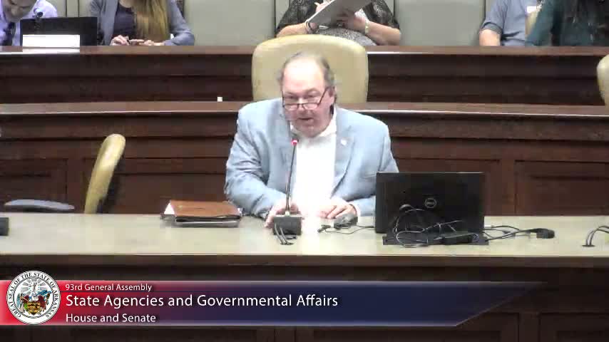
State Representative David Whitaker (House District 85) presented House Bill 1961 and described it as a ‘‘vanilla’’ map intended to provide a straightforward, compact baseline that keeps counties whole when possible. Whitaker said the map reflects feedback he has received during the process and that he aims to avoid ‘‘arms and tentacles’’ or other noncompact shapes.
Whitaker acknowledged that keeping counties intact can produce larger deviations in some districts and said he was open to reworking the plan to bring numbers into a more acceptable range. Multiple senators raised concerns that some districts in proposed maps already start ‘‘behind the curve’’ if population growth over the next decade is concentrated in certain regions; Whitaker said he would review those concerns and work with other sponsors to lower deviations where feasible.
Committee members also requested that sponsors authorize staff to publish the maps and accompanying deviation breakdowns online; the chair and sponsors said staff would post materials after sponsors grant permission. Whitaker received particular feedback about Madison County; he said he planned to explore ways to include Madison in the 3rd District while balancing population numbers.
No votes were taken. Sponsors and staff left the meeting with assignments to supply detailed spreadsheets and to continue revising maps based on committee comments.
Whitaker acknowledged that keeping counties intact can produce larger deviations in some districts and said he was open to reworking the plan to bring numbers into a more acceptable range. Multiple senators raised concerns that some districts in proposed maps already start ‘‘behind the curve’’ if population growth over the next decade is concentrated in certain regions; Whitaker said he would review those concerns and work with other sponsors to lower deviations where feasible.
Committee members also requested that sponsors authorize staff to publish the maps and accompanying deviation breakdowns online; the chair and sponsors said staff would post materials after sponsors grant permission. Whitaker received particular feedback about Madison County; he said he planned to explore ways to include Madison in the 3rd District while balancing population numbers.
No votes were taken. Sponsors and staff left the meeting with assignments to supply detailed spreadsheets and to continue revising maps based on committee comments.
Don't Miss a Word: See the Full Meeting!
Go beyond summaries. Unlock every video, transcript, and key insight with a Founder Membership.
✓
Get instant access to full meeting videos
✓
Search and clip any phrase from complete transcripts
✓
Receive AI-powered summaries & custom alerts
✓
Enjoy lifetime, unrestricted access to government data
30-day money-back guarantee
