Planning department outlines citywide cultural resources survey pilot, outreach and next steps
March 16, 2022 | San Francisco City, San Francisco County, California
This article was created by AI summarizing key points discussed. AI makes mistakes, so for full details and context, please refer to the video of the full meeting. Please report any errors so we can fix them. Report an error »
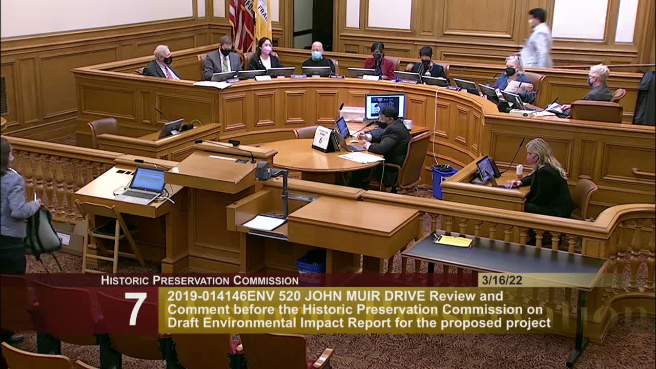
San Francisco planning staff on March 16 provided an update on the citywide Cultural Resources Survey (SF Survey), describing pilot results, a community-engagement framework and technical changes to field-data workflows aimed at scaling to the city’s 127,000 properties.
Maggie Smith, a planning staff member working on the SF Survey, said the pilot in Crocker Amazon captured roughly 500 properties in photographs and testing, and that the team decided to prioritize high-quality field photography while doing more detailed research back in the office to improve efficiency. The team found syncing problems with the Arches Collector app and plans to move to an Arches workflows plugin that syncs directly to the department’s Arches instance. Smith said the project will phase fieldwork based on racial- and social-equity priorities and historic-context readiness and will begin Phase 1 fieldwork over the summer.
Staff emphasized community-engagement tools — postcards, translation materials and a facilitators’ guide — and said they are developing multiple historic context statements (residence parks, architect/builder biographies and ethnically focused contexts such as African American, Latino and Chinese American histories) to inform the survey. Smith said the project is partnering with the Getty Conservation Institute and Farallon Geographics on in-field workflows and expects to use Arches as the city’s web-based cultural-resources inventory.
Commissioners asked about productivity (pilot averaged about 10 minutes per property before workflow changes), whether the team would use Muni’s historic photograph collections (staff confirmed such collections are digitized and mapped), and how the survey will address underrepresented histories. Director Hillis and several commissioners praised the project’s launch and encouraged continued stakeholder outreach.
Staff said the results will guide future landmark nominations and incentive programs and that survey findings will be used to convert Planning Department historic-resource status codes from “unknown” to either “historic resource present” or “no historic resource present.”
Maggie Smith, a planning staff member working on the SF Survey, said the pilot in Crocker Amazon captured roughly 500 properties in photographs and testing, and that the team decided to prioritize high-quality field photography while doing more detailed research back in the office to improve efficiency. The team found syncing problems with the Arches Collector app and plans to move to an Arches workflows plugin that syncs directly to the department’s Arches instance. Smith said the project will phase fieldwork based on racial- and social-equity priorities and historic-context readiness and will begin Phase 1 fieldwork over the summer.
Staff emphasized community-engagement tools — postcards, translation materials and a facilitators’ guide — and said they are developing multiple historic context statements (residence parks, architect/builder biographies and ethnically focused contexts such as African American, Latino and Chinese American histories) to inform the survey. Smith said the project is partnering with the Getty Conservation Institute and Farallon Geographics on in-field workflows and expects to use Arches as the city’s web-based cultural-resources inventory.
Commissioners asked about productivity (pilot averaged about 10 minutes per property before workflow changes), whether the team would use Muni’s historic photograph collections (staff confirmed such collections are digitized and mapped), and how the survey will address underrepresented histories. Director Hillis and several commissioners praised the project’s launch and encouraged continued stakeholder outreach.
Staff said the results will guide future landmark nominations and incentive programs and that survey findings will be used to convert Planning Department historic-resource status codes from “unknown” to either “historic resource present” or “no historic resource present.”
View the Full Meeting & All Its Details
This article offers just a summary. Unlock complete video, transcripts, and insights as a Founder Member.
✓
Watch full, unedited meeting videos
✓
Search every word spoken in unlimited transcripts
✓
AI summaries & real-time alerts (all government levels)
✓
Permanent access to expanding government content
30-day money-back guarantee
