County approves Billings Metropolitan Planning Organization boundary amendment
November 07, 2023 | Yellowstone, Montana
This article was created by AI summarizing key points discussed. AI makes mistakes, so for full details and context, please refer to the video of the full meeting. Please report any errors so we can fix them. Report an error »
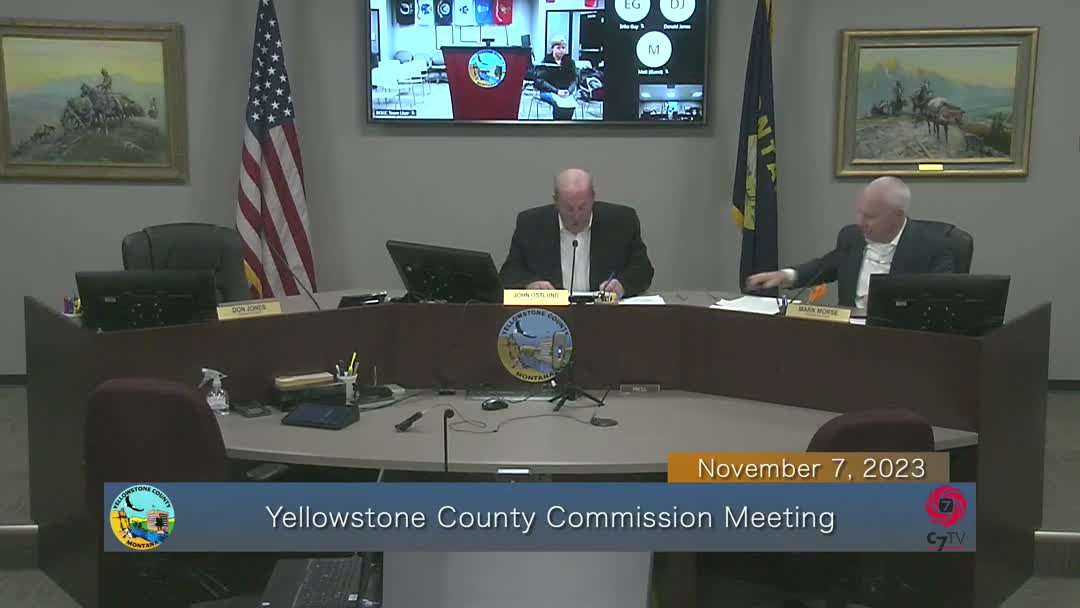
The Board of County Commissioners approved a proposed amendment to the Billings Metropolitan Planning Organization (MPO) boundary at its seventh meeting, moving the map on to the Policy Coordinating Committee for final action.
Laura, the presenter for the MPO review, told commissioners the Census Bureau and federal highways review urbanized areas after the decennial census using housing-density measures and other parameters, including a guideline that typically considers parcels within 0.5 miles of “large traffic generators.” She said the dotted line on the proposed map shows a smaller urban boundary, particularly on the city’s northeast side, but noted the final map retains a small area near King Avenue West after county, city and MDT review.
Unidentified Speaker 2 moved to approve the boundary map amendment and recommend it to the PCC; an unidentified board member seconded the motion and the board approved it by voice vote. With PCC approval, the county commission chair and the mayor are authorized to sign the official MPO boundary map.
Why it matters: MPO boundaries determine which areas are included in metropolitan transportation planning and can affect eligibility for federal planning programs and priority for some state transportation investments. The presenter said officials expect rapid change near the TED and a planned bypass could alter future development patterns.
The board also approved routine consent items and claims during the same meeting. The MPO amendment was the substantive planning action taken; it will move to the Policy Coordinating Committee for consideration.
Laura, the presenter for the MPO review, told commissioners the Census Bureau and federal highways review urbanized areas after the decennial census using housing-density measures and other parameters, including a guideline that typically considers parcels within 0.5 miles of “large traffic generators.” She said the dotted line on the proposed map shows a smaller urban boundary, particularly on the city’s northeast side, but noted the final map retains a small area near King Avenue West after county, city and MDT review.
Unidentified Speaker 2 moved to approve the boundary map amendment and recommend it to the PCC; an unidentified board member seconded the motion and the board approved it by voice vote. With PCC approval, the county commission chair and the mayor are authorized to sign the official MPO boundary map.
Why it matters: MPO boundaries determine which areas are included in metropolitan transportation planning and can affect eligibility for federal planning programs and priority for some state transportation investments. The presenter said officials expect rapid change near the TED and a planned bypass could alter future development patterns.
The board also approved routine consent items and claims during the same meeting. The MPO amendment was the substantive planning action taken; it will move to the Policy Coordinating Committee for consideration.
View the Full Meeting & All Its Details
This article offers just a summary. Unlock complete video, transcripts, and insights as a Founder Member.
✓
Watch full, unedited meeting videos
✓
Search every word spoken in unlimited transcripts
✓
AI summaries & real-time alerts (all government levels)
✓
Permanent access to expanding government content
30-day money-back guarantee
