Commissioners approve Serenity Subdivision preliminary plat after debate over parkland drainage
December 12, 2023 | Yellowstone, Montana
This article was created by AI summarizing key points discussed. AI makes mistakes, so for full details and context, please refer to the video of the full meeting. Please report any errors so we can fix them. Report an error »
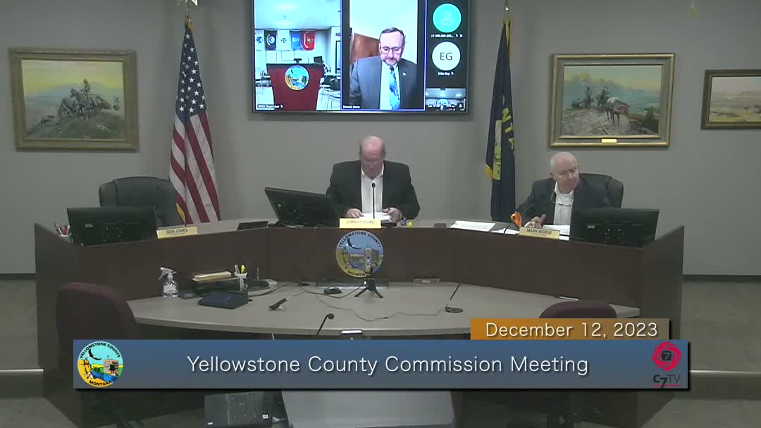
The county board of commissioners voted Dec. 12 to approve the preliminary major plat for the Serenity Subdivision, an approximately 86-acre residential proposal on the southwest corner of Nye Bauer and South 40 Eighth Street West, with an added condition that any drainage ditch be moved outside the area dedicated as public parkland.
The subdivision as presented proposes roughly 58 residential lots, one large agricultural lot of about 16.4 acres, and a required parkland dedication of 3.939 acres; the applicant proposes 4.398 acres of parkland. Planning staff listed a set of standard conditions for final approval, including MDEQ approval for water, septic and storm drainage; creation of an RSID for public-road maintenance; and sidewalk requirements written into the SIA.
Scott Worthington of Insight Engineering, the applicant’s agent, told the board the drain runs along the park boundary and “I don't think it is within the parkland. I think that that boundary line ... would be the east line of Lot 58.” He described the feature as “a drainage ditch that doesn't go anywhere” and said it appears to be an excavated slough manifesting groundwater. Worthington suggested the drain could be filled or the park boundary adjusted so the ditch falls entirely within Lot 58.
Members of the parks committee raised concerns that the feature may be the Canyon Creek irrigation ditch and noted a potential connection with leakage from the nearby BBWA canal. James, introduced to the board as a member of the parks committee, said the committee’s preference would be a cash-in-lieu payment rather than accepting parkland that might be unusable. He told the board the ditch is identified in some documents as the Canyon Creek irrigation canal and urged caution about accepting land the county would have to maintain.
County planning and public works staff responded that the mapped Canyon Creek irrigation ditch appears along the western boundary of the plat within a 70-foot irrigation easement and that the drain in question appears to be a separate feature; public works said it would not object to parkland provided the ditch is excluded from the dedicated park area. Planning staff also flagged the option of having the parkland privately maintained by the homeowners association as an alternative, while noting the county typically allows the developer to choose dedication versus cash-in-lieu when the planning board has already reviewed the matter.
After questions and requests for verification, the board added an explicit condition that the ditch be outside the boundaries of the dedicated parkland and approved the preliminary major plat subject to the list of conditions and that additional requirement. The motion to approve was made by Chairman Osland and seconded; the board carried the motion on a voice vote.
What happens next: Planning staff will verify boundary lines and drainage locations as part of final plat processing; required MDEQ clearances for water, septic and storm drainage must be obtained before final approval. The conditions also call for a proportional contribution to upgrade the connecting county gravel road or an equivalent cash contribution as determined by a traffic impact study and county public works, and establishment of RSIDs for road and park maintenance as appropriate.
Authorities referenced in the discussion included the county subdivision regulations and MDEQ clearance requirements for water and stormwater infrastructure. Specific technical or legal thresholds for stormwater design will be determined during final engineering review and MDEQ review.
The subdivision as presented proposes roughly 58 residential lots, one large agricultural lot of about 16.4 acres, and a required parkland dedication of 3.939 acres; the applicant proposes 4.398 acres of parkland. Planning staff listed a set of standard conditions for final approval, including MDEQ approval for water, septic and storm drainage; creation of an RSID for public-road maintenance; and sidewalk requirements written into the SIA.
Scott Worthington of Insight Engineering, the applicant’s agent, told the board the drain runs along the park boundary and “I don't think it is within the parkland. I think that that boundary line ... would be the east line of Lot 58.” He described the feature as “a drainage ditch that doesn't go anywhere” and said it appears to be an excavated slough manifesting groundwater. Worthington suggested the drain could be filled or the park boundary adjusted so the ditch falls entirely within Lot 58.
Members of the parks committee raised concerns that the feature may be the Canyon Creek irrigation ditch and noted a potential connection with leakage from the nearby BBWA canal. James, introduced to the board as a member of the parks committee, said the committee’s preference would be a cash-in-lieu payment rather than accepting parkland that might be unusable. He told the board the ditch is identified in some documents as the Canyon Creek irrigation canal and urged caution about accepting land the county would have to maintain.
County planning and public works staff responded that the mapped Canyon Creek irrigation ditch appears along the western boundary of the plat within a 70-foot irrigation easement and that the drain in question appears to be a separate feature; public works said it would not object to parkland provided the ditch is excluded from the dedicated park area. Planning staff also flagged the option of having the parkland privately maintained by the homeowners association as an alternative, while noting the county typically allows the developer to choose dedication versus cash-in-lieu when the planning board has already reviewed the matter.
After questions and requests for verification, the board added an explicit condition that the ditch be outside the boundaries of the dedicated parkland and approved the preliminary major plat subject to the list of conditions and that additional requirement. The motion to approve was made by Chairman Osland and seconded; the board carried the motion on a voice vote.
What happens next: Planning staff will verify boundary lines and drainage locations as part of final plat processing; required MDEQ clearances for water, septic and storm drainage must be obtained before final approval. The conditions also call for a proportional contribution to upgrade the connecting county gravel road or an equivalent cash contribution as determined by a traffic impact study and county public works, and establishment of RSIDs for road and park maintenance as appropriate.
Authorities referenced in the discussion included the county subdivision regulations and MDEQ clearance requirements for water and stormwater infrastructure. Specific technical or legal thresholds for stormwater design will be determined during final engineering review and MDEQ review.
Don't Miss a Word: See the Full Meeting!
Go beyond summaries. Unlock every video, transcript, and key insight with a Founder Membership.
✓
Get instant access to full meeting videos
✓
Search and clip any phrase from complete transcripts
✓
Receive AI-powered summaries & custom alerts
✓
Enjoy lifetime, unrestricted access to government data
30-day money-back guarantee
