Zoning Atlas revolutionizes land use in West Michigan
June 19, 2024 | Traverse City, Grand Traverse County, Michigan
This article was created by AI summarizing key points discussed. AI makes mistakes, so for full details and context, please refer to the video of the full meeting. Please report any errors so we can fix them. Report an error »
In a recent government meeting, officials unveiled the Michigan Zoning Atlas, marking its world premiere. This innovative tool aims to transform land use planning in West Michigan, encouraging a fresh perspective on zoning practices.
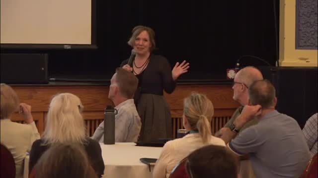
During the presentation, the significance of the Atlas was highlighted, with officials expressing enthusiasm about its potential to reshape discussions around land use in the region. The meeting included a series of slides showcasing the Atlas's features, emphasizing its role in facilitating more informed decision-making regarding land development.
As the dialogue progressed, participants were encouraged to engage with the Atlas, which has yet to be utilized in practical applications. The anticipation surrounding its implementation suggests a pivotal shift in how local governments and communities approach zoning and land use strategies moving forward.
View the Full Meeting & All Its Details
This article offers just a summary. Unlock complete video, transcripts, and insights as a Founder Member.
✓
Watch full, unedited meeting videos
✓
Search every word spoken in unlimited transcripts
✓
AI summaries & real-time alerts (all government levels)
✓
Permanent access to expanding government content
30-day money-back guarantee
