Infrastructure plan sparks debate over mobility hub location
September 24, 2024 | Boulder, Boulder County, Colorado
This article was created by AI summarizing key points discussed. AI makes mistakes, so for full details and context, please refer to the video of the full meeting. Please report any errors so we can fix them. Report an error »
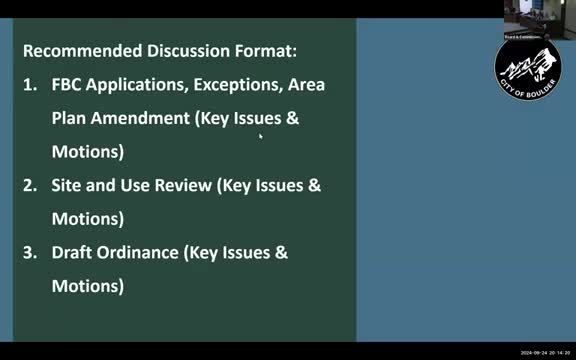
During a recent government meeting, officials discussed significant amendments to the infrastructure plan, focusing on the relocation of a mobility hub and the implications of impervious surface area in the development project.
The mobility hub's relocation was a central topic, with officials noting that moving it closer to residential areas enhances accessibility for residents. This change allows for better connectivity, as residents will no longer need to cross a busy street to access the hub. However, questions arose regarding the visibility of the hub from nearby bus stops and the overall functionality of the new location.
Another key point of discussion was the increase in impervious surface area, which has risen to 31% from a previously targeted 30%. Officials confirmed that this figure is specified in the project design, prompting inquiries about potential adjustments to meet the original goal. Suggestions included reducing sidewalk widths or paving in certain areas, although officials acknowledged that many design elements are dictated by existing codes.
The meeting also addressed the distinction between public and private streets, particularly concerning the designation of 11th Street as a privately owned street by the city. This designation aims to simplify compliance with development standards while maintaining public access.
Concerns were raised about pedestrian pathways, particularly the design of the north-south multi-use path, which deviates from a straight line as shown in the area plan. Officials explained that the design choices were made to enhance the path's inviting nature and to slow down traffic near a playground.
Overall, the meeting highlighted the complexities of urban planning, balancing accessibility, environmental considerations, and regulatory compliance as the project moves forward.
View the Full Meeting & All Its Details
This article offers just a summary. Unlock complete video, transcripts, and insights as a Founder Member.
✓
Watch full, unedited meeting videos
✓
Search every word spoken in unlimited transcripts
✓
AI summaries & real-time alerts (all government levels)
✓
Permanent access to expanding government content
30-day money-back guarantee
