Residents demand urgent corrections to Lake Burien land use map
October 07, 2024 | Burien, King County, Washington
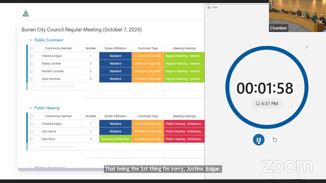
This article was created by AI summarizing key points discussed. AI makes mistakes, so for full details and context, please refer to the video of the full meeting. Please report any errors so we can fix them. Report an error »
During a recent government meeting, Burien resident Jim Hanna addressed the council regarding critical updates needed for the Lake Burien neighborhood's land use and stormwater management plans. Hanna emphasized the necessity of correcting the land use map to accurately designate the area as Residential Low Number 1 (RL1). He provided supporting evidence and arguments in a letter submitted to the council.
In addition to the land use designation, Hanna raised concerns about inaccuracies in the stormwater management plan. He pointed out that the current map incorrectly lists the number of stormwater outlets discharging into Lake Burien, stating there are 11 outlets, not the 7 previously indicated. This discrepancy is particularly significant given the flooding issues the area faces during extreme weather events, which affect properties from both the street and lakeside.
Hanna's remarks highlight ongoing community concerns about proper land use planning and effective stormwater management in Burien, underscoring the need for accurate data to address flooding challenges in the region.
View the Full Meeting & All Its Details
This article offers just a summary. Unlock complete video, transcripts, and insights as a Founder Member.
✓
Watch full, unedited meeting videos
✓
Search every word spoken in unlimited transcripts
✓
AI summaries & real-time alerts (all government levels)
✓
Permanent access to expanding government content
30-day money-back guarantee
